
Tag "UAV"

interaerial SOLUTIONS – Biggest Commercial UAS Event Cleared for Take-off
Karlsruhe, March 14, 2016: The “interaerial SOLUTIONS Expo. Forum. Flight Zone for UAS.” has been cleared for take-off. A dedicated website has been launched for this marketplace for UAS business

Esri Releases Drone2Map for ArcGIS
App Turns Still Imagery Captured by Drones into 2D and 3D Products Redlands, California—Drone2Map for ArcGIS, released today by Esri, turns raw still imagery from drones into professional 2D and
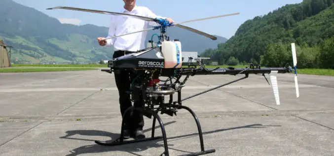
RIEGL and Aeroscout Announce Strategic Partnership!
RIEGL Laser Measurement Systems (Austria) and Aeroscout (Switzerland) are excited to announce a strategic partnership between companies RIEGL and Aeroscout have worked closely for many years. As a pioneer in
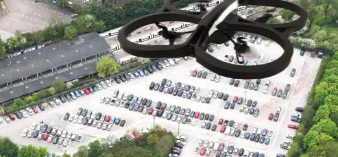
Drones Helping to Conduct High-Resolution Remote Sensing
New York: Earth and environmental scientists are relying on affordable advanced technological drones to conduct long-term high-resolution experiments at a much lower cost than using aircraft or satellites. Unmanned Aerial Vehicles

SimActive and Delair-Tech Partner to Provide SNCF with a UAV Solution
SimActive Inc., a world-leading developer of photogrammetry software, is pleased to announce the purchase of multiple Correlator3D™ licenses by SNCF. The software is used in conjunction with UAVs from Delair-Tech,

NHAI Signs MoU with ISRO and NECTAR for Use of Spatial Technology for Monitoring and Managing National Highway
NHAI has signed Memorandum of Understanding with National Remote Sensing Centre (NRSC) under Indian Space Research Organization (ISRO) and North East Centre for Technology Application and Research (NECTAR) for use
World Bank Has Chosen UAV for Innovative Local Mapping
The World Bank is implementing a $12 million Real Estate and Cadastre Project to assist the government in producing a national cadastre system and geospatial data infrastructure. The team has

The Irish Aviation Authority Issued Rules on the use of Drones in Ireland
In light of the increased use of drones, police in the UK have seen a spike in over 2,000% in drone related calls. Many of these calls are as a
New Technique to Help Drones Manoeuvre Safely in Mountains
Beijing – Scientists have developed a new technology that can allow unmanned aerial vehicles (UAV) to manoeuvre safely in plateau mountain regions. The UAVs designed for plateau missions are usually
Russia Announces Compulsory Drone Registration
According to the recent news, Russian President Vladimir Putin has signed a law that obliges all private owners of unmanned aircraft weighing over 250 grams to register them with the
