
Tag "UAV"
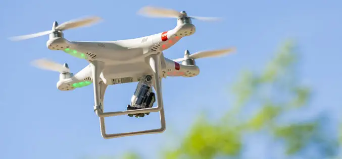
Guidelines for Civilian Use of Drones on Anvil
New Delhi – India: There are “serious issues” with drone operations and the government is in the process of drafting guidelines for its civilian use. As part of this process,

FAA Small Unmanned Aircraft Registration Begins
Registration will be free for the first 30 days The Federal Aviation Administration’s (FAA) new web-based registration system for small unmanned aircraft systems (UAS) is now active. Hobbyists and recreational
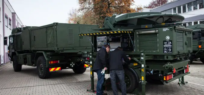
Airbus Defence and Space Completes First Mobile General Ground Station for NATO’s Alliance Ground Surveillance
Airbus Defence and Space has completed the first of its newly developed mobile general ground stations (MGGS) for the NATO’s Alliance Ground Surveillance (AGS). AGS is a NATO programme to
FAA Announces Small UAS Registration Rule
UAS Registration Begins on December 21, 2015, First 30 Days are Free WASHINGTON – The U.S. Department of Transportation’s Federal Aviation Administration (FAA) today announced a streamlined and user-friendly web-based
DARPA to Develop Ultracompact LIDAR Systems
Defence Advanced Research Projects Agency (DARPA) lighter and cheaper technology to replace a large, heavy and expensive light detection and ranging (LIDAR) systems. The primary goal of the newly-announced Modular Optical Aperture Building

Webinar Series: Get More from UAV Imagery
Get More From Imagery Webinar Series: Get More from UAV Imagery Dec. 03, 2015 at 4am EDT (9am GMT) | Dec. 03, 2015 at 2pm EDT (7pm GMT) PCI Geomatics is the
UAS Task Force Outlines Recommendations for Registration
The Federal Aviation Administration released the initial Task Force recommendations for the registration of small unmanned aerial systems (UAS). In October, PrecisionHawk was selected by the Department of Transportation to

Putting UAVs to Work: Construction Firms Utilizing Unmanned Aerial Vehicles
Putting UAVs to Work: Construction Firms Utilizing Unmanned Aerial Vehicles Date: November 18, 2015 | 1:00 PM (EST) The fascination surrounding UAVs (or drones) is undeniable, and some of the

SimActive Strengthens its Enterprise UAV Offering with Version 6.3
SimActive Inc., a world-leading developer of photogrammetry software, is pleased to announce Correlator3D™ version 6.3 with an expanded UAV enterprise offering. A new floating licensing option allows computers on the

PhD Candidate Unmanned Aerial Vehicles (UAVs) for Cadastral Mapping
The University of Twente. We stand for life sciences and technology. High tech and human touch. Education and research that matter. New technology which drives change, innovation and progress in
