
Tag "UAV"
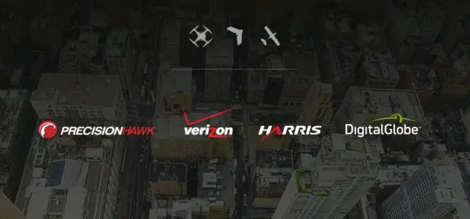
PrecisionHawk, Verizon, Harris and DigitalGlobe Jointly Demonstrate Technology for Safe Drone Operations
Industry leaders in cellular, aircraft surveillance, satellite imagery and drones bring together the best technology solutions to enhance safety as airspace congestion increases. PrecisionHawk, Verizon (NYSE, Nasdaq: VZ), Harris (NYSE:HRS)
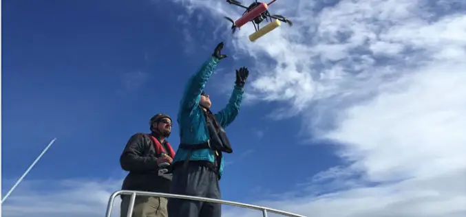
UAV to Study Killer Whales Health and Behavior
Unmanned aerial vehicle allows scientists to study killer whale health and reproduction while also offering a glimpse into the family life of these social animals John Durban is a marine
Drone Bombings in the Federally Administered Tribal Areas: Public Remote Sensing Applications for Security Monitoring
Drone bombing, as a US defense strategy in Pakistan, began under the George W. Bush administration as part of the “US War on Terrorism” and aimed to defeat Taliban and

First Annual Commercial UAV Expo Gets Sky-High Marks from Industry Insiders
SPAR Point Group’s Commercial Drone Show Boasts 120 Exhibitors & 1,500 Attendees Commercial UAV Expo’s launch October 5-7, 2015 was lauded as a huge success for precision measurement professionals who
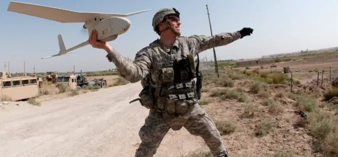
PrecisionHawk Joins the U.S. Department of Transportation and FAA in the Creation of a Safety Task Force for UAS
The task force will collaborate on the development of a streamlined registration process for Unmanned Aircraft Systems (UAS) PrecisionHawk has announced its contribution to a safety task force created by
Nigeria to Use Drones to Fight Insecurity and Insurgency
According to recent news, Surveyors of the Nigerian Institution of Surveyors (NIS) and seasoned security experts, including Ade Abolurin, retired commandant-general; Nigeria Security and Civil Defence Corps have given advice to
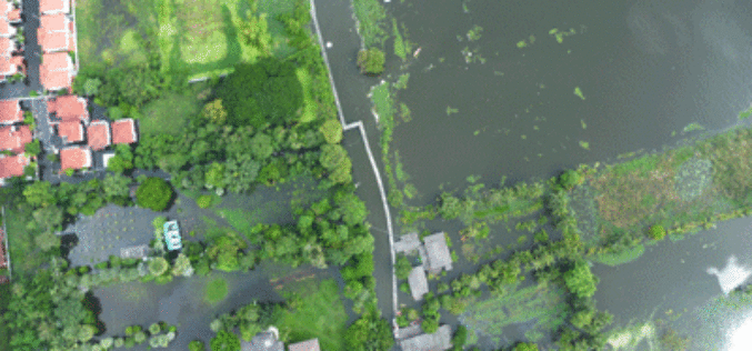
Malaysia to Use UAV to Monitor Floods
The Malaysian government will be using its newly built UAV to monitor floods during the monsoon seasons. The unmanned aircraft “Unmanned Aerial Vehicle-Remote Sensing (UV-RS)”, was collaboratively developed by ARSM, Multimedia
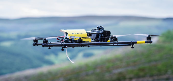
Topcon Announces Rotary-wing UAS
LIVERMORE, Calif. – October 5, 2015 – Topcon Positioning Group announces the addition of a rotary-wing unmanned aerial system (UAS) to its mass data collection solutions line. The Falcon 8
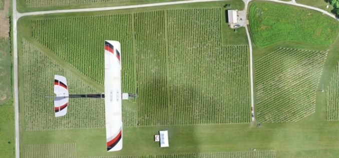
Kansas State University and Precisionhawk Developing UAS App That Predicts Corn Production
Kansas State University has recently signed a research partnership with PrecisionHawk Inc., a Raleigh, North Carolina, to develop unmanned aerial systems or UAS app that predicts corn production. The partnership establishes
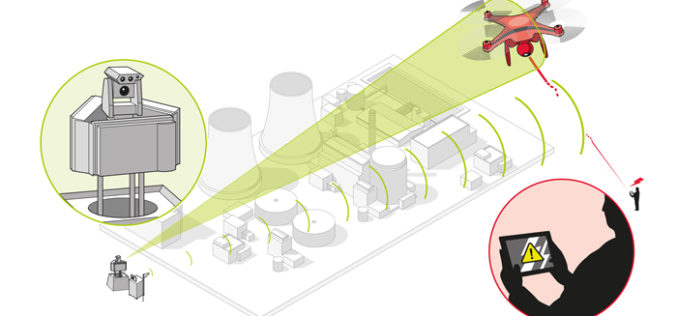
Counter-UAV System from Airbus Defence and Space Protects Large Installations and Events from Illicit Intrusion
Sensor Data Fusion offers countermeasures against small drones Airbus Defence and Space has developed a Counter-UAV System which detects illicit intrusions of Unmanned Aerial Vehicles (UAVs) over critical areas at
