
Tag "Webinar"

NASA Webinar – Geospatial Data Abstraction Library (GDAL) Enhancements for GIS
Geospatial Data Abstraction Library (GDAL) Enhancements for GIS Thursday, October 29, 2015 at 2pm ET Enable your Earth Observing data products to work in applications built on GDAL, such as

Join Webinar: A Better World with Open Data – GIS Application
A Better World with Open Data – GIS Application Thursday, Oct 29, 2015 1:30 PM – 2:30 PM IST (Show in My Time Zone) Open data is, in fact, not

PCI Geomatics Webinar: Ortho-Mosaicking with Geomatica
Webinar: Ortho-Mosaicking with Geomatica PCI Geomatics is the developer of Geomatica- a complete and integrated desktop software that features tools for remote sensing, digital photogrammetry, geospatial analysis, map production, mosaicking

Esri Webinar: Reveals New Methods of Imagery Change Detection
The Art and Science of Imagery Change Detection Wed, Oct 21, 2015 10:30 PM – 11:30 PM IST Show in My Time Zone The only thing constant is change. This
Webinar: Take Control of Your Geospatial Data with 1 Simple Platform
Take Control of Your Geospatial Data with 1 Simple Platform Thu, Oct 1, 2015; 9:30 PM – 10:30 PM IST, 12:00 PM – EST Learn how to manage your data with

Webinar: Introducing the Trimble Remote Sensing Suite
Trimble has announced a new software solution, the Trimble Remote Sensing Suite. The new software suite enables geospatial professionals to efficiently extract high-quality information from satellite imagery for environmental, urban

Webinar on Transition of ENVI Analytics from Desktop to Web
Webinar on Transition of ENVI Analytics from Desktop to Web Tuesday, September 15, 2015 1:30 pm Singapore Time (Singapore, GMT+08:00) Geospatial imagery is used more and more across industries because

Remote Sensing Applications Webinar- NSW, RSPC
SSSI NSW are proud to present a webinar on “Remote Sensing Applications”. This webinar will cover interesting applications for satellite imagery. Dr Andrew Robson, from the University of New England,
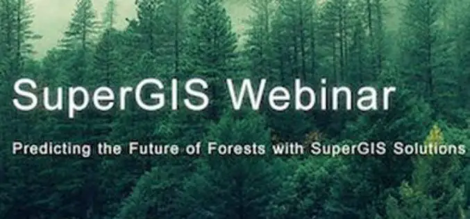
Webinar: Predicting the Future of Forests with SuperGIS Solutions
Predicting the Future of Forests with SuperGIS Solutions Thursday, September 10th 09:00 AM (GMT) Your local time For the sustainable use of bio-resources and maintain ecosystem function, Species Distribution Model

ARSET Training Announcement: Remote Sensing for Wildfire Applications
Remote Sensing for Wildfire Applications (in-person workshop) October 6-8, 2015 Idaho State University, Pocatello, Idaho, USA Workshop Overview: The ARSET team is gearing up for an in-person training titled “Remote
