
Tag "Webinar"

Find the Best Location – Boost Business with GIS Analysis
Find the Best Location – Boost Business with GIS Analysis Wednesday, 27th January 09:00 AM (GMT) Your Local Time (http://goo.gl/y6KG0H) Sales reports, buyer behaviors, public transportation and etc., you got

Webinar on Remote Sensing Methods to Inform Adaptive Management of Phragmites
Remote Sensing Pt II: Implementing practical field & remote sensing methods to inform adaptive management of Phragmites Fri, Dec 11, 2015 12:30 AM – 1:30 AM IST Show in My
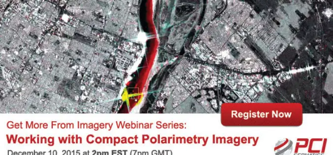
PCI Geomatica Webinar Series: Working with Compact Polarimetry Imagery
Get More From Imagery Webinar Series: Working with Compact Polarimetry Imagery Dec. 10, 2015 at 2pm EST (7pm GMT) Add Geomatica Radar tools to your software suite, and learn how to
SuperGIS Webinar – A Smart Solution for Modern Land Management
SuperGIS Webinar – A Smart Solution for Modern Land Management Wed, Dec 16, 2015 1:30 PM – 2:30 PM IST Show in My Time Zone Are you still struggling with
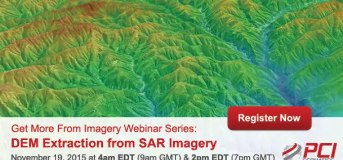
Webinar Series: DEM Extraction from SAR Imagery
Get More From Imagery Webinar Series: DEM Extraction from SAR Imagery Nov. 19, 2015 at 4am EDT (9am GMT) | Nov. 19, 2015 at 2pm EDT (7pm GMT) PCI Geomatics is the

Putting UAVs to Work: Construction Firms Utilizing Unmanned Aerial Vehicles
Putting UAVs to Work: Construction Firms Utilizing Unmanned Aerial Vehicles Date: November 18, 2015 | 1:00 PM (EST) The fascination surrounding UAVs (or drones) is undeniable, and some of the
RIEGL USA Invites You to Join Terrestrial LiDAR Webinar
RIEGL USA Invites You to Our Terrestrial LiDAR Webinar 19 November 2015, 1:00 PM – 2:00 PM, Eastern Time In the fields of surveying, engineering, and construction, terrestrial LiDAR has become a

A Building Renovation Project Using 3D Scanning: From Field Collection to 3D Modeling In SketchUp
Time To Do More Webinar: A building renovation project using 3D scanning: from field collection to 3D modeling in SketchUp Wed, Nov 11, 2015 8:30 PM – 9:30 PM IST

Webinar: Raster Processing In Global Mapper
Raster Processing In Global Mapper November 19, 2015 No Registration Required In many GIS processes and procedures, raster data serves as a static base map or reference layer upon which

Volumetric Analysis and DEM Applications Using PCI Geomatica
Volumetric Analysis and DEM Applications Nov. 5, 2015 at 4am EDT (8am GMT); Nov. 5, 2015 at 2pm EDT (6pm GMT) PCI Geomatics is the developer of Geomatica- a complete and
