TerraGo Publisher Version 6.7 Delivers Free GIS-Lite Applications from ArcMap
 TerraGo Publisher for ArcGIS is an extension to Esri ArcGIS that allows you to produce and exploit GeoPDF documents with ArcMap. You can define global defaults to be used when you export map document files as well as global defaults to be used when you view GeoPDF files in ArcMap. At any time you can override the global defaults by specifying unique export options for your map document file.
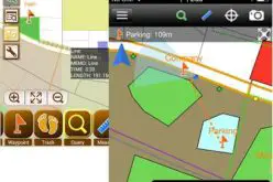
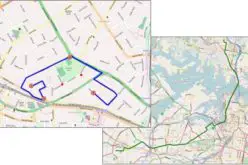
All of the GeoPDF files you export are automatically GeoMark Enabled. A GeoMark is TerraGo’s collaboration component that has a location, attributes and hyperlinks. GeoMarks are collected by TerraGo collaboration software such as TerraGo Toolbar and TerraGo Mobile . TerraGo Publisher for ArcGIS allows you to import GeoMarks into an ArcMap session and then update your GIS database with data that has been collected in the field. You can also view the details of any GeoMark when you view a GeoPDF file in ArcMap.
With TerraGo’s OpenGeoPDF Software, organizations can deliver a free lightweight GIS application to non-GIS users. Now with the latest release of TerraGo Publisher for ArcGIS version 6.7 and its free client application, TerraGo Toolbar, end users, analysts, executives and field personnel, can do even more with powerful new spatial database features including the ability to search, query, update and extract feature data with a click of a button.
What’s New in version 6.7.0
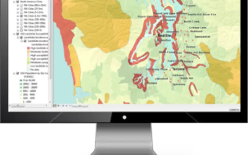
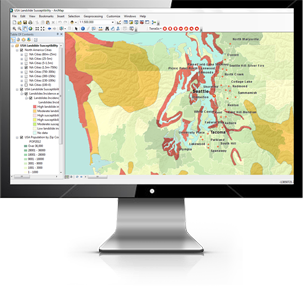
Support for GeoPackage feature attributes in GeoPDF documents: TerraGo Publisher for ArcGIS 6.7.0 provides performance and internal improvements as well as architectural changes in support of GeoPackage feature attributes in GeoPDF documents and use of Identify tool in TerraGo Toolbar.
To learn more about the latest release and extending GIS-Lite capabilities to your users, watch this on-demand demo.
TerraGo Publisher for ArcGIS Free Trial