
Archive
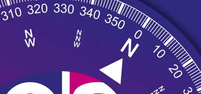
Know Where You Are with Ordnance Survey’s New OS Locate App
Ordnance Survey’s latest iOS app is ideal for pinpointing the location for anyone exploring the great outdoors. OS Locate is free to download and is a fast and highly accurate

SuperGIS Server Builds Decision Supporting GIS for National Development
Supergeo Technologies, a leading global provider of GIS software and solutions, supports Taiwan National Development Council to integrate various geographic data and services collected by different divisions into one single

Webinar – Optimizing the Use of Data with SuperGIS Desktop in A Cost-effective Way
Webinar on Optimizing the Use of Data with SuperGIS Desktop in A Cost-effective Way by SuperGeo Wednesday, 2nd April 4:00 PM – 5:00 PM (GMT+8) Worldwide users are looking for

TERI Develops Web GIS Tool Trap Rooftop Solar Power
The Energy and Resources Institute (TERI) has developed the first-ever open-source Web-GIS Tool for estimating rooftop solar power potential for Indian solar cities. The tool aims to develop a high
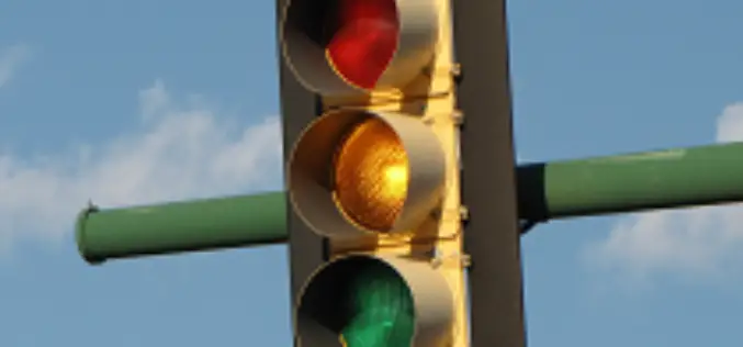
GIS to Add Traffic Intelligence in Abu Dhabi
In recent news, Abu Dhabi is using a unique intelligence system “Intelligent Safety Management System” which uses Geographical Information System to create solutions for certain problems such as speeding and
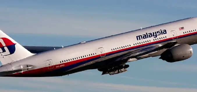
Mystery Deepens As Search Area Expands For Malaysia Airlines Flight MH370
It has been 12 days to the missing Malaysia Airlines flight MH370 since March 8. The search for Flight MH370 has now been expanded deep into the northern and southern hemispheres.
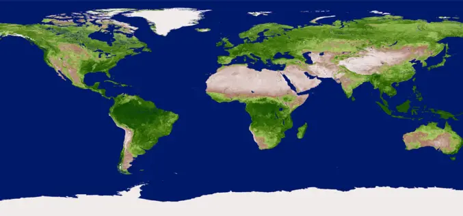
An Insight to NDVI
The Normalised Difference Vegetation Index (NDVI) is a measure of the vegetative cover on the land surface. Dense vegetation shows up very strongly in the imagery, and areas with little
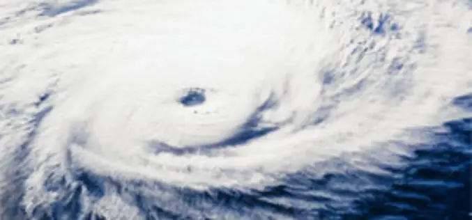
New Airborne GPS Technology to Predict Hurricanes
A new GPS system aboard airplanes can improve hurricane forecasting and weather models by detecting precise conditions in the atmosphere, scientists say. Current measurement systems that use Global Positioning System
A Fleet of 100 Remote Sensing Satellites-Planet Labs
In recent news, Planet Labs is planning to launch a fleet of 100 satellites rockets from the United States and Russia over the next 12 months. This constellation will collect
Vegetation Indices
Vegetation Indices has proved to have an extremely wide (and growing) range of applications. It is used to monitor vegetation conditions and therefore provide early warning on droughts and famines.
