
Archive

An Exciting Challenge to Climb the Height of Everest Without Ever Leaving London – Step Up Mountain Challenge
The Mayor of London and Ordnance Survey support Daniel Raven-Ellison’s Step Up Mountain Challenge 8–17 September Daniel, from Ealing, has been dubbed the “guerrilla geographer” and his journey up the most famous,

Boundless Introduces New QGIS Support Packages at FOSS4G
Benjamin Trigona-Harany to Conduct QGIS for Analysts Workshop at the Conference September 8, 2014 – Boundless, the leading provider of Spatial IT software and services, announced new QGIS support and training offerings

Geospatial Corporation’s CEO Mark Smith to Present at the ENERGIS Conference Hosted by Range Resources, Pittsburgh PA
The conference addresses geospatial and GIS technologies and needs within the energy industry. Mark Smith will be presenting a case study with Mike Hopkins of Vantage Energy PITTSBURGH, PA–(Marketwired –
RFP for Carrying out GIS Mapping of Pipeline
Gas Authority of India Limited (GAIL) Public Sector Undertaking (PSU) Uttar Pradesh, India Request for Proposal for GAIL (India) Limited invites e-bids from eligible bidders for “Carrying out Geospatial Information System

China Launches Remote Sensing Satellite – Yaogan-21
In recent news,China has successfully launched Yaogan-21, a remote sensing satellite on September 8, 2014 from Taiyuan Satellite Launch Centre. A Long March-4B carrier rocket carries Yaogan-21 and Tiantuo-2 satellite,
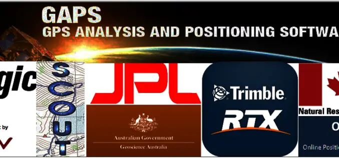
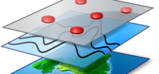
Free GPS Online Post Processing Services
There are two methods of GPS (Global Positioning System) data processing. These are Post Processing and Real-Time Processing. The post-processing method involves downloading complete survey data and processing it in

PhD Position @ Utrecht University – Canopy Nitrogen Mapping using Remote Sensing
PhD Researcher: Canopy Nitrogen Mapping using Remote Sensing (1.0 fte) Utrecht University is a university in Utrecht, the Netherlands. It is one of the oldest universities in the Netherlands and one of
‘GeoCannon’ On iOS Offers Players An Endless Augmented Geospatial Mobile Gaming Experience
Prague, Czech Republic, September 3 rd, 2014: Independent games developer AppTrixi is proud to announce the release of GeoCannon to selected iOS app stores. Currently available in Brazil, Canada, Czech Republic, Italy,
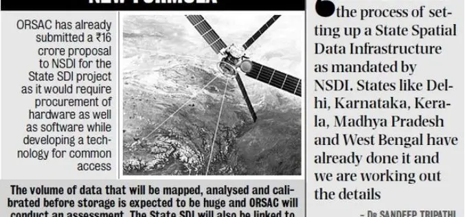
ORSAC to Frame Policy for Common Pool of Geo-spatial Info
In recent news, The Odisha Government has decided to frame out Data Sharing Policy agencies to bring all geo-spatial information generated by Odisha Space Application Centre (ORSAC) and State-run geospatial

The Wait is Over: LizardTech Launches GeoGofer for Powerful Image Searching and Sorting
Now users can tag and organize geospatial imagery quickly and easily; integrates with Esri Technology LizardTech®, a provider of software solutions for managing and distributing geospatial content, has launched GeoGofer,
