
Archive

Geospatial Corporation Releases Geounderground Version 2.2
Latest Release of Cloud-Based GIS Offered as Free 14-Day Trial; Includes Geo-Docs File Sharing Platform and Access to Updated Interactive Tutorial PITTSBURGH, February 2, 2015 — (OTC Pink: “GSPH”), Geospatial

President’s 2016 Budget Proposes $1.2 Billion for the USGS
Reflects robust Administration support for science-based decision-making in managing natural resources The President’s fiscal year 2016 budget request for the U.S. Geological Survey is $1.2 billion, an increase of nearly

SimActive Launches Version 6.0 with Revolutionary Photogrammetric Workflow
SimActive Inc., a world-leading developer of photogrammetry software, is pleased to announce Correlator3D™ version 6.0. A revolutionary new interface introduces streamlined image processing for any sensor type. New features include

Wow ! Google Earth Pro Is Now Free
Recently Google has announced that Google Earth Pro is now available for free. Google Earth Pro is geospatial software that has all the easy-to-use features and detailed imagery of Google Earth, along with
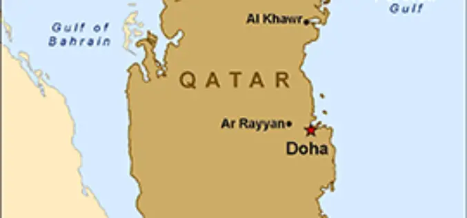
Qatar is Using GIS to Map and Analyse Fishing Reserves
In recent news, Qatar is developing a geographical information system (GIS) to map and analyse its marine resources, mainly fishing reserves. The fisheries department is busy assessing the country’s fish reserves

Nagaland Doing Mapping on Ground Water Prospects
Nagaland Science and Technology Council (NASTEC) has prepared a map on ‘Ground water prospects of Nagaland’. NASTEC prepared the Hydro Geo-Morphological (HGM) Map under Rajiv Gandhi National Drinking Water Mission
