
Archive

LizardTech Releases Updated GeoViewer Application for iOS
SEATTLE, Wash. — Feb. 9, 2015 —LizardTech®, a provider of software solutions for managing and distributing geospatial content, has released an update to its free iOS GeoViewer application for viewing

Trimble’s Pocket-Sized R1 GNSS Receiver Enables High-Accuracy Data Collection with Smart Devices
Professional-Grade Location Accuracy Using Consumer Smart Phones and Tablets Trimble introduced today the R1 GNSS receiver, a pocket-sized, rugged, standalone receiver that works with iOS, Android or Window® mobile handhelds,
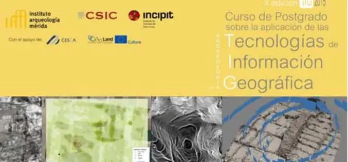
Specialization course in Geospatial Technologies for Archaeology
The ArcLand partner Incipit – Instituto de Ciencias del Patrimonio (Institute of Heritage Sciences, Spain), in collaboration with the Mérida Institute of Archaeology, announces the launching of a new edition of
ISRO to Launch Google’s Sky Box Imaging Satellite
In recent news by The Asia Age, the Indian Space Research Organisation will be launching Google’s Sky Box Imaging satellite for GPS maps this year from Sriharikota. Google, has acquired

Snaps on the Map – New Ordnance Survey Photo Competition
Ordnance Survey has launched a brand new photography competition for 2015 and is looking for the very best photographs of Great Britain to feature on the covers of its iconic paper maps.
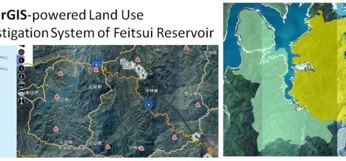
GIS Observation System Supplies Water for Lives
As the main water supply and electricity generator in great Taipei, Feitsui Reservoir is a vital resource in Taiwan. Feitsui Reservoir Administration therefore needs to ensure that water quality, water

Esri Launches New Site to Find Open Data
Search and Discover Authoritative Information from Any ArcGIS Open Data Website Redlands, California—Esri today announced the launch of a new site aimed to help citizens discover organizations sharing open data
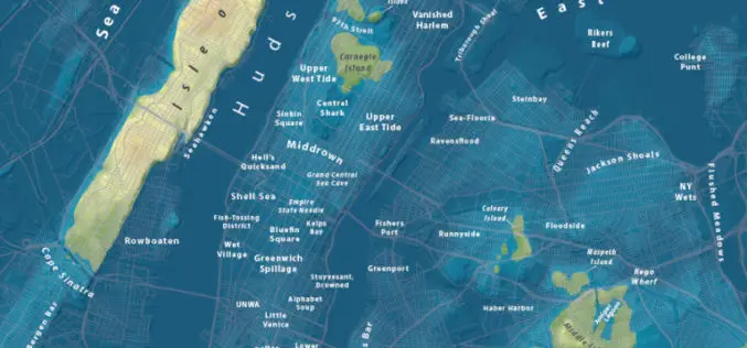
Maps Show What Major World Cities Would Look Like If Global Sea Level Rises
Global climate change has already had observable effects on the environment. Glaciers have shrunk, ice on rivers and lakes is breaking up earlier, plant and animal ranges have shifted and

NASA First Ever Mapped Greenland’s Ice Sheet in 3D
Scientists using ice-penetrating radar data collected by NASA’s Operation IceBridge and earlier airborne campaigns have built the first-ever comprehensive map of layers deep inside the Greenland Ice Sheet. This new

Google Free Mapping Service Adds Local Guides
San Francisco: An update to Google`s free online mapping service on Friday let users become local guides who post reviews of businesses and venues in a challenge to
