
Archive
2015 USGIF Awards Program is Now Open!
USGIF’s purpose is to promote the geospatial intelligence tradecraft and to develop a stronger community of interest between government, industry, academia, professional organizations and individuals who share a mission focused

NASA | Greenland’s Ice Layers Mapped in 3D
A three-dimensional view of the age and structure of the Greenland Ice Sheet Scientists using ice-penetrating radar data collected by NASA’s Operation IceBridge and earlier airborne campaigns have

Utilities and Customers Benefit from Intergraph Outage Notifications
Solution generates automated notifications improving customer outage experience HUNTSVILLE, Ala., Feb. 4, 2015 – Intergraph® will help utilities improve customer service during electricity outages with the release of Intergraph Outage

Esri’s Data Appliance for ArcGIS Now on GSA Schedule
Agencies Can Gain Secure Access to Terabytes of Valuable Data behind Their Firewall Redlands, California—Esri today announced that Data Appliance for ArcGIS is available on the General Services Administration (GSA)
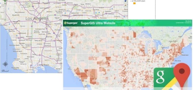
Powerful GIS Web Manager in SuperGIS Server 3.2
Supergeo, the leading GIS software and solution provider, released the newest version of SuperGIS Server 3.2 to help enterprises share diverse geospatial data effortlessly. The latest SuperGIS Server 3.2 is
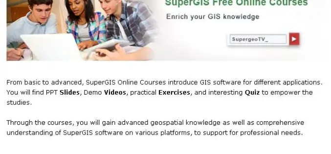
No-Cost Online GIS Courses on SupergeoTV to Enrich Geospatial Knowledge
To facilitate more GIS users and non-GIS professionals with deep understanding in geospatial technology, further applying GIS to diversified domains, Supergeo, the leading GIS solution provider, launches free online courses

Iran Launches Indigenously Build Fajr Satellite
In recent news by Azernews, Iran has successfully launched its indigenously build Fajr, the fourth satellite into orbit by Safir-e-Fajr launch vehicle. The satellite is different than the previous
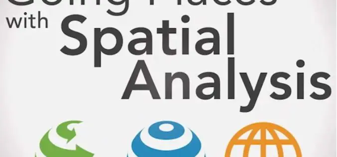
Learn What You Can Do with ArcGIS Spatial Analysis
Go Places with Spatial Analysis Free Online Course – Learn What Spatial Analysis Can Do for You This Massive Open Online Course (MOOC) is for people who know

NAPSG – Virtual Seminars on Learn Techniques for Efficient Public Safety Routing
Virtual Seminars on Learn Techniques for Efficient Public Safety Routing February 26, 2015 The National Alliance for Public Safety GIS Foundation (NAPSG) is a 501 (C) (3) not-for-profit organization

Webinar: Geographic Calculator 2015 & Global Mapper 16 – Creating Custom Geoid Models
Blue Marble Webinar: Geographic Calculator 2015 & Global Mapper 16 – Creating Custom Geoid Models No registration required, February 10, 2015 For our February session on Geographic Calculator, we
