
Archive
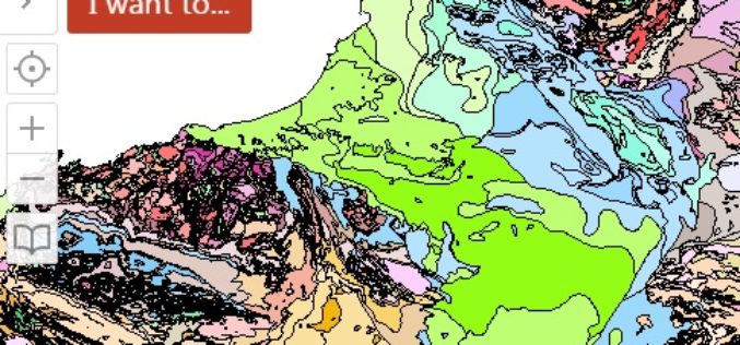
WA Geology – A Geology Mapping App for Mobile Devices
The Government of Western Australia has launched a mobile app for geology mapping. The mobile app WA Geology – is a web-mapping application that requires use of a wide variety

PCI Geomatics Guest Lecturing at Canadian University on Synthetic Aperture Radar (SAR)
MARKHAM, Ontario, Canada—March 10, 2015: PCI Geomatics, a world leading developer of remote sensing and photogrammetric software and systems, announced today that Gabriel Gosselin, PhD., Radar Remote Sensing Scientist for

SuperGIS Webinar Boost Your Field Productivity & Accuracy with SuperGIS Mobile Solutions
SuperGIS Webinar Boost Your Field Productivity & Accuracy with SuperGIS Mobile Solutions 25th March, 09:00 AM – 09:40 AM (Greenwich Time) Your Local Time (http://goo.gl/HFKLbB) Having rugged mobile devices for multiple field
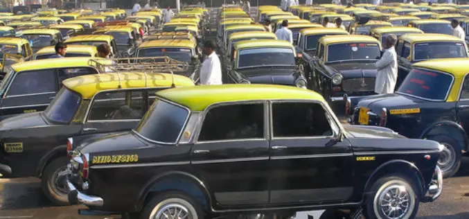
Maharashtra Govt Plans GPS in Taxi’s for Women Safety
Mar. 09, 2015 – Maharashtra government plans to install GPS in private taxis and reserve front seats in share taxis for women to ensure their safety, the state Legislature was
First LAStools Workshop in Latin America
The week after Easter is poised to see Latin America’s premier LiDAR event of 2015 when LAStools, CloudCompare, and OpenTopography converge for the 3 day NPAC 2015 workshop in CICESE in Mexico. Just across the US border (one hour

A World Showcase to Celebrate Ordnance Survey’s Work in London
The largest ever model of Central London, commissioned by New London Architecture and sponsored by Ordnance Survey, will be unveiled for the first time on the London Stand at MIPIM,

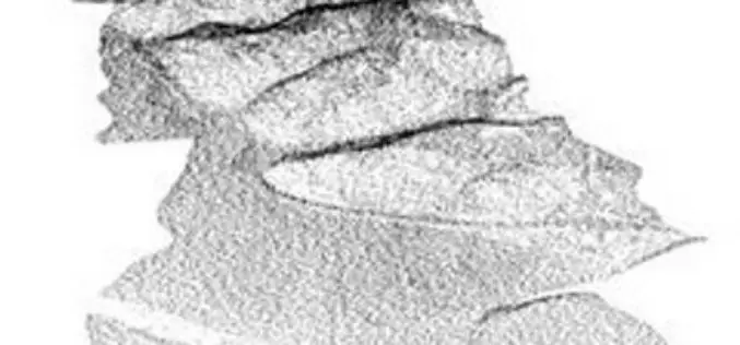
Airborne LiDAR Reveals Maya Civilization Landscape
The Maya civilization was one of the most dominant indigenous societies of Mesoamerica (a term used to describe Mexico and Central America before the 16th century Spanish conquest). The earliest Maya settlements
Rwanda Launches the First-Ever Land Use Portal in Africa
Esri Eases Access to Land Information for Rwandan Citizens and Planners Redlands, California—Thanks to a new website called the National Land Use Planning Portal (NLUPP), Rwandans connected to the Internet
PhD in Air quality Mapping in Space and Time at ITC
The University of Twente. We stand for life sciences and technology. High tech and human touch. Education and research that matter. New technology which drives change, innovation and progress in

Webinar: Using 30cm WorldView-3 Imagery with Geomatica for Advanced Applications
Using 30cm WorldView-3 Imagery with Geomatica for Advanced Applications Live Webinar – Thursday, March 19 at 8am GMT and 2pm EDT Take a first look at the highest resolution commercial
