
Archive

RIEGL adds VMZ-2000 to Geo-matching.com
RIEGL has added the VMZ-2000 to the Mobile Mappers product category on Geo-matching.com. Visit Geo-matching.com for a complete product overview and compare solutions. Geo-matching.com is the first product comparison website

A New Era of Space Collaboration between Australia and U.S.
On June 18, 2015 in Canberra, Australia, the U.S. Geological Survey and Geoscience Australia signed a comprehensive new partnership to maximize land remote sensing operations and data that can help
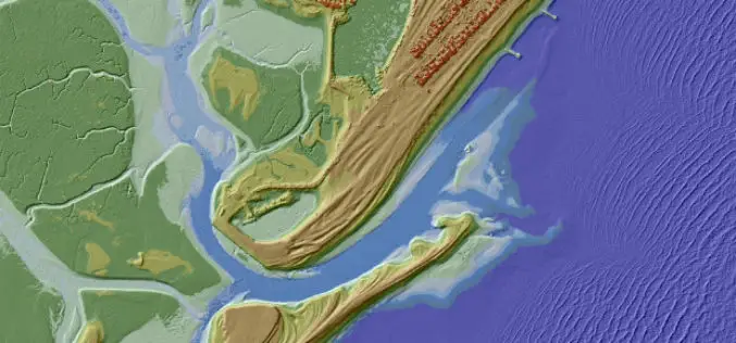
UK Environment Agency Make LiDAR and Environment Data Open for All
The UK Environment Agency (EA) is to make its LiDAR datasets freely available as open data to commercial entities from September this year. Since 2013, LiDAR data has been published for non-commercial
Esri and NT Concepts Help Transition Google Earth Enterprise Customers
Meeting the Requirements of the Intelligence Community a Top Priority Redlands, California—In coordination with Google, Esri is providing replacement software and training to customers and partners using Google’s enterprise geospatial
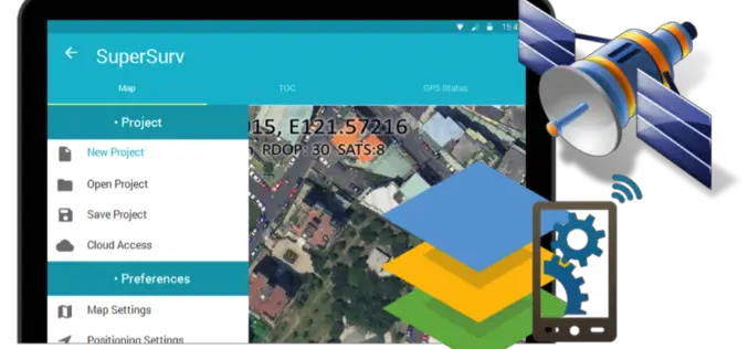
Behold! SuperSurv 10 Come for Unleashing the Power of Latest Technology in Mobile GIS
Can’t find the best fit mobile GIS solution for your field work? Wondering with all the hardcore and complicated operations in most survey Apps? Get ready to experience the brand
GeoCue Now Offers Online Training Courses
Madison, AL – GeoCue Group, Inc. is now offering Online Training courses for the LP360 point cloud data processing product suite. Offered courses will cover a variety of topics appealing

Trimble Webinar: How Collecting High Quality GIS Field Data Can Improve Your Bottom Line
As a GIS professional, gathering the data around your organization’s field assets is critical to your decision-making process. You need to know the right location and information about the features

PhD In ecosystem Service Mapping at ETH Zurich
The Institute for Spatial and Landscape Development, ETH Zurich is looking for a PhD student in ecosystem service mapping. The PhD student will be part of the EU Horizon2020 ECOPOTENTIAL project,
10 full PhD Studentships – NERC DREAM Centre for Doctoral Training
The NERC funded DREAM Centre for Doctoral Training will support three cohorts of 10 students, who will join the programme in October 2015, 2016 and 2017 respectively. As part of
European Space Imaging High-Res Urban Challenge & Win Imagery Worth EUR 20,000
The European Space Imaging High-Res Urban Challenge gives a sneak preview on this very high-resolution imagery (40 cm, 8-band) collected by European Space Imaging (EUSI) recently, the data corresponding to
