
Archive

Trimble to Provide Geospatial Software and Online Training for Post-Graduate Distance Learning Programs
Trimble to Provide Geospatial Software and Online Training for Post-Graduate Distance Learning Programs with UNIGIS International Supporting Continuing Education in Geographic Information Systems (GIS) SUNNYVALE, Calif.,Oct. 16, 2015- Trimble (NASDAQ: TRMB) and

Underwater Drones to Map Oceans
MIT, Hydroswarm, a new startup developing underwater drones that automatically work together, instead has visions of mapping the entire ocean. Hydroswarm is an adaptable, smart drone platform for underwater explanation.

PCI Geomatics Webinar: Ortho-Mosaicking with Geomatica
Webinar: Ortho-Mosaicking with Geomatica PCI Geomatics is the developer of Geomatica- a complete and integrated desktop software that features tools for remote sensing, digital photogrammetry, geospatial analysis, map production, mosaicking
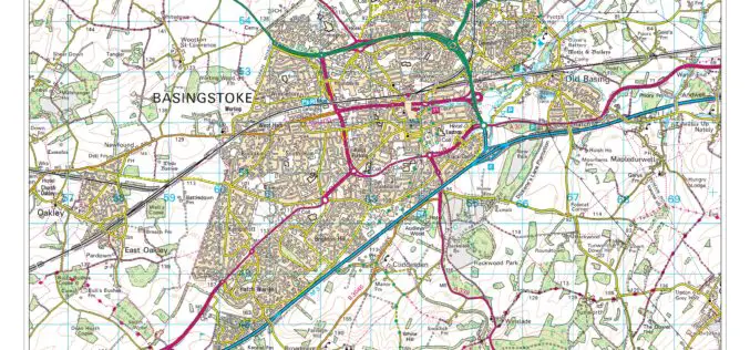
Digimap for Schools Launches 1950s Maps of Great Britain
Digimap for Schools now has a second historic map layer added to its popular online service, giving teachers and pupils direct access to Ordnance Survey mapping from three centuries. Covering the

Using Geographic Information Systems (GIS) in Disease Control Programmes
The course ‘Using GIS in disease control programmes’ jointly organized by KIT and the International Institute for Geo-Information Science and Earth Observation (ITC) Enschede, combines expertise in geographic information systems

Nigeria to Use Drones to Fight Insecurity and Insurgency
According to recent news, Surveyors of the Nigerian Institution of Surveyors (NIS) and seasoned security experts, including Ade Abolurin, retired commandant-general; Nigeria Security and Civil Defence Corps have given advice to

FAA Expands Unmanned Aircraft Pathfinder Efforts
The Federal Aviation Administration (FAA) has entered into a Pathfinder agreement with CACI International Inc. to evaluate how the company’s technology can help detect Unmanned Aircraft Systems (UAS) in the

3D Maps of Buildings to Improve Disaster Management Plans
India – In order to improve disaster management plans, the Gurgaon administration has decided to prepare 3D maps of 100 buildings in the city, including office complexes and hospitals. Gurgaon
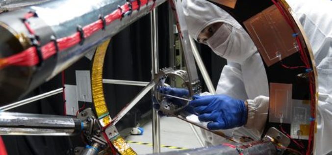
Taiwan to Launch FORMOSAT-5 Satellite in February 2016
The FORMOSAT-5 satellite has passed space environment and function tests and is expected to be launched at the end of February 2016. The FORMOSAT-5 will replace FORMOSAT-2. The biggest difference
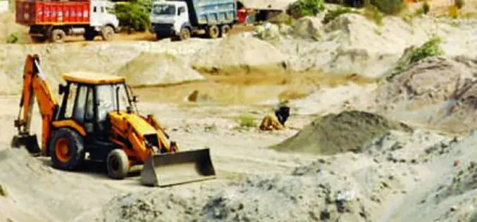
Geospatial Mapping to Curb Illegal Sand Extraction
India – The Goa State Expert Appraisal Committee (GSEAC) has issued instructions to the District Collectors to carry out survey and mapping of sand extraction lease boundaries through Global Positioning
