
Archive

Remote Sensing Technology Reveals that Mount Everest Glaciers Has Shrunk 28% in 40 years
BEIJING: Glaciers on Mount Everest, a source of major Asian rivers like the Brahmaputra, have shrunk by 28 percent over the past 40 years due to climate change, according to

Webinar on Remote Sensing Methods to Inform Adaptive Management of Phragmites
Remote Sensing Pt II: Implementing practical field & remote sensing methods to inform adaptive management of Phragmites Fri, Dec 11, 2015 12:30 AM – 1:30 AM IST Show in My
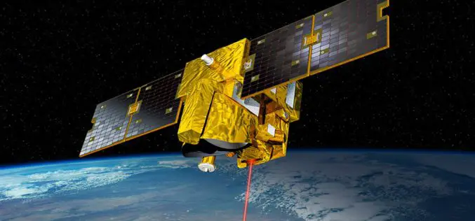
German-French MERLIN Mission at COP 21- Paris
On Tuesday 8 December at the 2015 UN Climate Change Conference COP 21 in Paris, the German Aerospace Center (Deutsches Zentrum für Luft- und Raumfahrt; DLR) and the French space agency

Manchester Wins £10m Prize to Become World Leader in ‘Smart City’ Technology
Ordnance Survey is part of a public – private consortium that is celebrating winning a £10m competition for Manchester to be the UK’s Internet of Things (IoT) Demonstrator, awarded by the
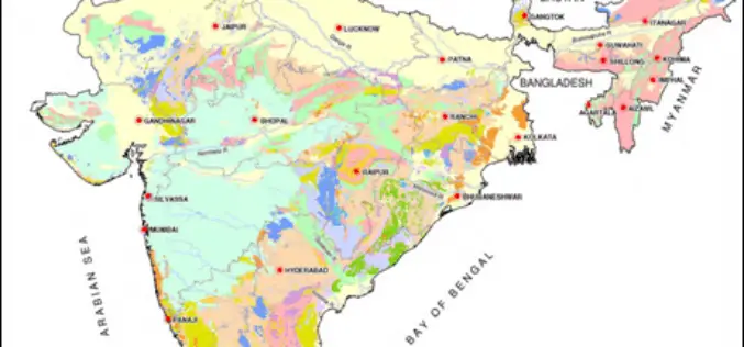
Pilot Project on Aquifer Mapping In Five States
According to recent news, the Government of India has undertaken a pilot project on aquifer mapping in parts of five states. Union Minister of State for Water Resources Sanwar Lal
PhD Studentship in Hyperspectral Remote Sensing
Cranfield University is a British postgraduate and research-based university specialising in science, engineering, technology and management. It contains two campuses; the main campus is at Cranfield, Bedfordshire, and the second is the

UK and China to Monitor Bridge Movement Using Satellite
The University of Nottingham (UK) has signed up a MoU with the huge construction conglomerate China Railway Group to develop and commercialise advanced satellite techniques to monitor the structural integrity
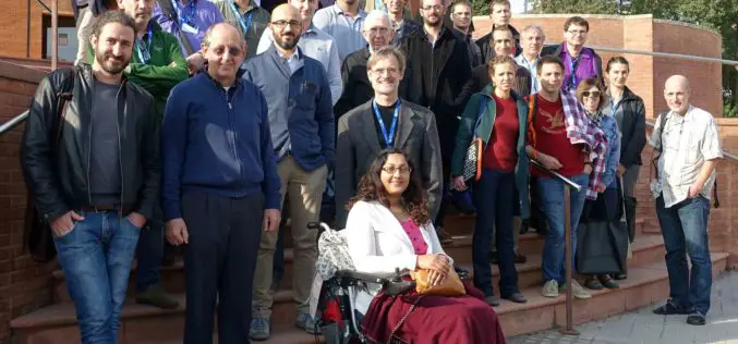
Elephant Meeting on Big Data Services
While we try to get to grips with the ever-increasing “Big Data” deluge we recognize that adequate Web services are a key prerequisite for ubiquitous, flexible, and fast data access.

HERE to Explore Use of Big Data
The consortium of carmakers consisting of Audi, BMW and Daimler that owns digital map maker HERE said on Monday it would explore the use of big data to improve the

ESA and World Bank Sign an Agreement on Using Earth Observation Information
At the COP21 Climate Summit in Paris, the World Bank and ESA signed an agreement on using information from Earth observation satellites in support of sustainable development. The World Bank,
