
Archive
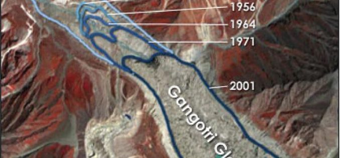
Remote Sensing Studies Reveals That Glaciers are Melting at 5 to 20 metre Rate Annually: India
New Delhi, Jul 19 (PTI) – Majority of glaciers in India including Gangotri are melting at varying rates ranging from five to 20 metre per year, the government today told
State Space Corporation ROSCOSMOS will Present Possibilities of Russian Remote Sensing System in November This Year in India
State Space Corporation ROSCOSMOS officially supports 16th International Scientific and Technical Conference “FROM IMAGERY TO MAP: digital photogrammetric technologies” which will be held from 14 till 17 November, 2016 in

Two UN Agencies Adopted Geospatial Technologies to Protect Cultural Heritage
Two United Nations agencies (UNOSAT and UNITAR) have signed an agreement to protect cultural and natural heritage sites by using the latest geospatial technologies, including a satellite imaging system. The

Global GIS Analytics Market to Grow at a CAGR of 18.25% During 2016-2020
According to a report published by the Research and Markets, the global GIS analytics market to grow at a CAGR of 18.25% during the period 2016-2020. The report, Global Geographic Information System
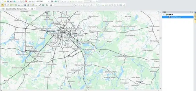
Online Map Tool Helps You to Design a Better Map
Many cartographers are often anxious about creating a map that is not attractive enough. In the latest updated version of SuperGIS Desktop 3.3 and 10, Supergeo will support users to

DigitalGlobe to Announce Second Quarter Financial Results on July 28, 2016
WESTMINSTER, Colo.–(BUSINESS WIRE)–Jul. 14, 2016– DigitalGlobe, Inc. (NYSE: DGI), a leading global provider of commercial high-resolution earth observation and advanced geospatial solutions, will announce its second quarter 2016 financial results

Esri India Webinar: Explore the World of Esri Mobile Apps and App Builders
Explore the World of Esri Mobile Apps and App Builders 27th July 2016, 11:00 AM IST onwards The webinar covers the ArcGIS apps and app builder capabilities. With a suite
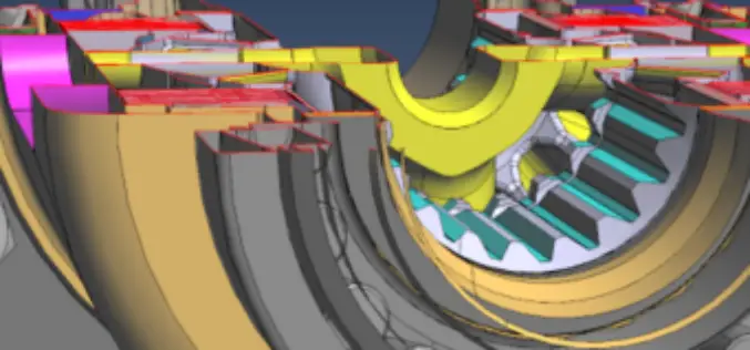
PDF3D V2.13 Release Targets Engineering and Manufacturing Workflows in 3D
3D PDF conversion software leaders, PDF3D, today announce V2.13, a major update for their entire suite of products including PDF3D SDK, XML Server, ReportGen and PV+. ReportGen users can expect
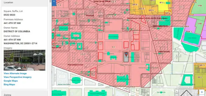
Blue Raster Incorporates Esri Technology into DC Office of Zoning Map
Constituents Can Leverage Open Data through Mobile Devices for Easy Access to Detailed Zoning and Planning Information Redlands, California—Esri has announced that the Washington, DC, Office of Zoning (DCOZ) has released
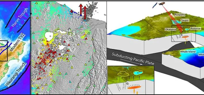
GPS and Satellite Radar Interferometry Indicate the Birth of a New Magma Body Beneath New Zealand
A recent study by Ian Hamling using Global positioning satellite and satellite radar interferometry measurements has indicated the birth of a magma chamber along the Taupo Volcanic Zone. Magma is a
