
Archive
TBC Power Hour Webinar: Data Traceability Using Customized Reporting
TBC Power Hour Webinar: Data Traceability Using Customized Reporting 08 AM MDT/04 PM MDT |FEB 22, 2017 Professional surveyors spend much of their time in doing tasks such as staking

South Korea Government Using Drones to Map Hazardous Areas
According to recent news by Korea Bizwire – On Tuesday, the Ministry of Land, Infrastructure and Transport demonstrated its latest 3D-mapping technology that makes use of drones, at the Han River
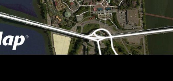
K2 Geospatial Launches the Latest Version of its Map-based Integration Platform JMap
More powerful, even more robust and interoperable, JMap 7 is now available JMap’s 7th version is finally here! K2 Geospatial, a leading map-based solution developer, is proud to announce the release
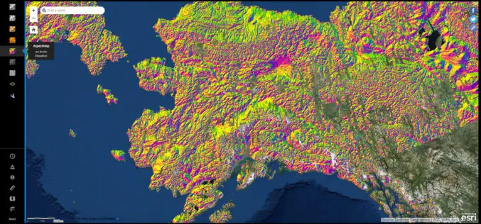
NGA Releases Biggest Collection of Arctic Elevation Data Yet at Esri FedGIS Conference
ArcticDEM Provides High-Quality Elevation Data and Enables Communities to Take Action Redlands, California—Esri, the global leader in spatial analytics, together with the ArcticDEM project—a public-private initiative to produce high-resolution, high-quality

DLR and Airbus Sign Contract for MERLIN Environmental Satellite
German-French climate mission enters its implementation phase Small satellite mission to measure methane concentration in Earth’s atmosphere from 2021 onwards. Environmental impact of methane is 25 times higher than that
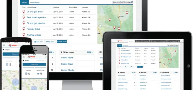
EdgeData and Harris Corporation to Collaborate on Electric Utility Asset Inspection and Management Solutions
EdgeData’s inspection infrastructure, powered by Harris Corporation’s geospatial analytics, will modernize the electric utility industry’s asset inspection and management practices. (Grand Forks, N.D.) —February 17, 2017 – EdgeData LLC and
TerraGo Webinar: How to Build Custom ArcGIS Mobile Apps with Zero-Code
Webinar Workshop: How to Build Custom ArcGIS Mobile Apps with Zero-Code March 7, 2017 | 12:00 PM (ET) TerraGo Magic® enables anyone to rapidly build private-label, custom ArcGIS apps without the
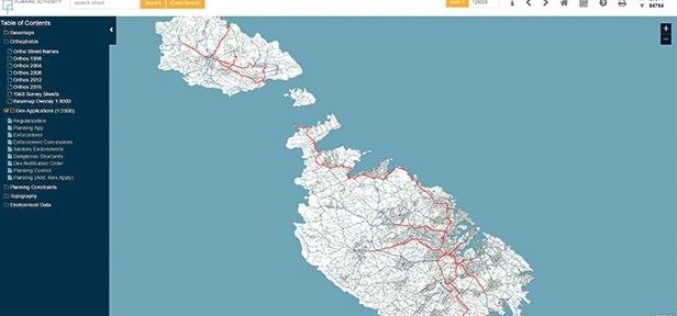
Planning Authority of Malta Launch New Online Mapping System
According to recent news by the Times of Malta, the Planning Authority has launched an online geographic information system (GIS), that would allow the public to access data in a faster

PCI Geomatics Welcomes Advanced Groundwater Technologies to its Reseller Partner Network
MARKHAM, Ontario, Canada, February 15, 2017 — PCI Geomatics, a world-leading developer of remote sensing and photogrammetric software and systems, announced today that Advanced Groundwater Technologies (AGWT) has joined its
DigitalGlobe Announces Launch of SecureWatch™, Advancing Mission Preparedness and Success When Decisions Matter Most
WESTMINSTER, Colo.–(BUSINESS WIRE)–Feb. 15, 2017– DigitalGlobe, Inc. (NYSE: DGI), the global leader in Earth imagery and information about our changing planet, today announced the launch of a new product, SecureWatch,
