Cambridge Intelligence MapWeave: Transforming Geospatial Data Analysis
Cambridge Intelligence has unveiled its latest innovation, Cambridge Intelligence MapWeave, a cutting-edge geospatial visualization SDK designed to revolutionize the way organizations analyze complex spatial data. With Cambridge Intelligence MapWeave, developers can seamlessly integrate map, network, timeline, and observational data into a unified interface, enhancing the clarity and depth of geospatial investigations.
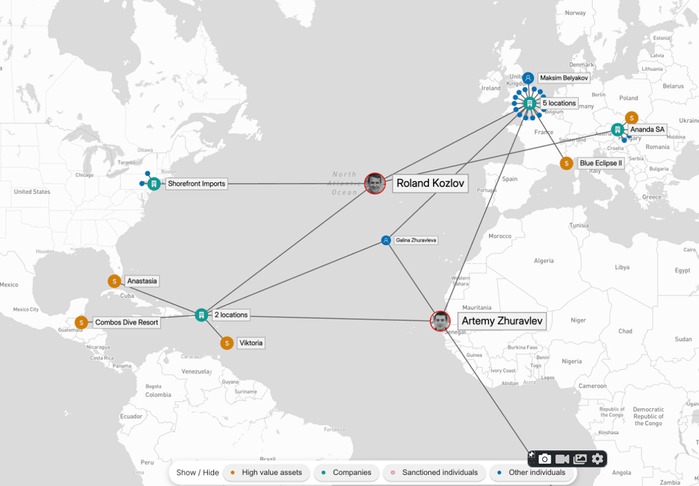
The introduction of Cambridge Intelligence MapWeave marks a significant advancement in geospatial link analysis, offering tools that uncover connections previously hidden within fragmented data systems.
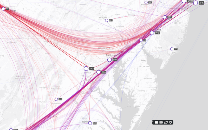
Traditional GIS tools often fall short in illustrating the ‘why’ behind spatial events. MapWeave addresses this gap by providing a purpose-built platform that elucidates how people, objects, and events interconnect across time and space. Whether it’s tracking vehicle movements, identifying fraud networks, or mapping cyber threats, MapWeave empowers users to discover hidden relationships with unprecedented clarity.
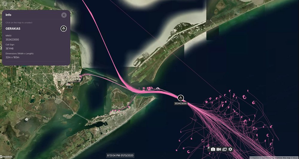
Key features of MapWeave include real-time performance capable of handling millions of data points, trajectory and movement analysis over time, smart clustering, and edge bundling for clear visual storytelling. Its pluggable architecture ensures smooth integration with existing technologies, including Cambridge Intelligence’s KeyLines and KronoGraph SDKs, facilitating the development of comprehensive investigative platforms.
Since its Early Access Program launch, MapWeave has been refined through collaboration with users across various sectors, ensuring its readiness for enterprise deployment. The SDK’s robust documentation and interactive demos support rapid development, enabling organizations to enhance their geospatial intelligence workflows effectively.
Cambridge Intelligence, established in 2011, continues to pioneer in the field of data visualization, assisting cybersecurity, intelligence, and fraud detection organizations in transforming complex data into actionable insights. With MapWeave, they reaffirm their commitment to providing tools that bring clarity to the intricate world of geospatial data analysis.
For more information or to request a free trial, visit: Cambridge Intelligence MapWeave