
Posts From GIS Resources
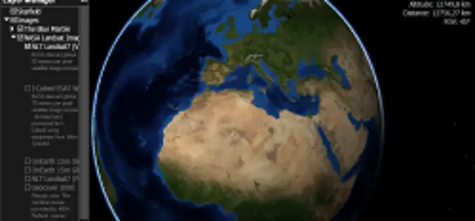
Webinar: NASA World Wind Virtual Globe Technology
Webinar: NASA World Wind Virtual Globe Technology on February 13, 2014 The ICA-OSGeo Lab Network and MundoGEO will be conducting the fourth webinar of the “Open Geospatial Science & Applications” webinar series . The webinars

France to Distribute Free Old SPOT Data for Non-Commercial Use
In recent news by Spacenews, The Government of French has agreed to open its SPOT optical remote sensing data archive and distribute, free of charge to noncommercial users. Under this policy all
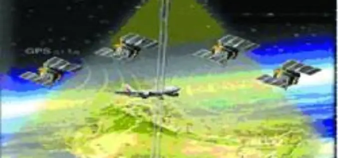
GAGAN Will Become Fully Operational in February
In recent news, GAGAN-GPS Aided Geo Augmented Navigation System will become fully operational in month of February this year as conformed by S. V. Satish, GM-Air Traffic Management, Gagan project, Airports

SPDLib an Open Source Software for LiDAR Processing
SPDLib is an open source software for processing for processing LiDAR, including data captured from airborne and terrestrial platforms. The sorted pulse data (SPD) software library along with a collection of tools for processing traditional discrete

GPS Tracking for Sea Birds on Ohinau Island
In recent news by Radio New Zealand News, scientist are using GPS to track and study the movements of seabirds at sea and find out what impact fishing is having on their numbers.

GIS Governance for Tamil Nadu State, India
In recent news, Government of Tamil Nadu has announced the implementation of Geographical information System (GIS) for Tamil Nadu state. Tamil Nadu Geographical Information System (TNGIS) is an initiative to ensure

Collection of elevation data in A&N Islands – NCSCM
Survey Tender – Expression of Interest (EOI): Collection of elevation data in A&N Islands – National Centre for Sustainable Coastal Management (NCSCM), Tamil Nadu, India The National Centre for Sustainable Coastal Management,

GIS to Locate Exact Electricity Snag in India
In a recent news, New Okhla Industrial Development Authority (hereinafter referred to as “NOIDA” or “the Authority”) in India has moved to insure better facilities to its electricity consumers. The Noida Discom

California’s Gateway Cities Launch Sophisticated GIS Planning Web Tool
The 28 municipalities in the Gateway Cities Council of Governments in southeastern Los Angeles County have teamed up to launch a groundbreaking new website, GatewayCOGSiteProspector.org, to attract businesses and jobs. Using
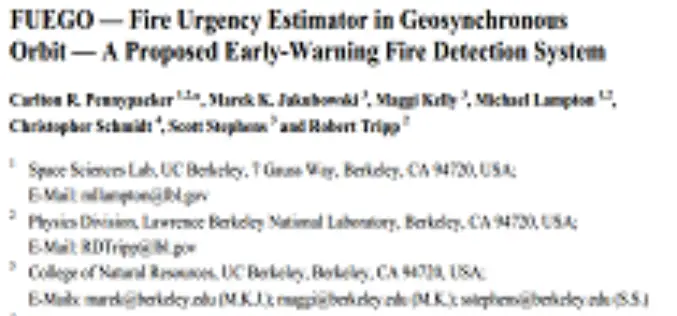
FUEGO — Fire Urgency Estimator in Geosynchronous Orbit — A Proposed Early-Warning Fire Detection System by Carlton R. Pennypacker et. al.
FUEGO — Fire Urgency Estimator in Geosynchronous Orbit — A Proposed Early-Warning Fire Detection System by Carlton R. Pennypacker et. al. Abstract: Current and planned wildfire detection systems are impressive but lack both
