
Courses
PhD in Air quality Mapping in Space and Time at ITC
The University of Twente. We stand for life sciences and technology. High tech and human touch. Education and research that matter. New technology which drives change, innovation and progress in
IIT Roorkee Offering Ph.D Programme in Remote Sensing and GIS
The Institute IIT Roorkee, has completed 150th year of its existence in October 1996. On September 21, 2001, an Ordinance issued by the Government of India declared it as the
Workshop on Approaches to Remote Sensing For Vegetation Biomass Estimation
Workshop on Approaches to Remote Sensing For Vegetation Biomass Estimation February 24-26, 2015, Brisbane, Australia Vegetation biomass is a crucial ecological variable and an important component of the global carbon
Salisbury University Offering Master’s in GIS Management
Salisbury University is a premier comprehensive Maryland public university with four privately endowed schools, offering excellent, affordable education in undergraduate liberal arts, sciences, business, nursing, education and social work and
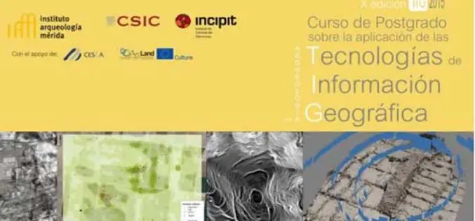
Specialization course in Geospatial Technologies for Archaeology
The ArcLand partner Incipit – Instituto de Ciencias del Patrimonio (Institute of Heritage Sciences, Spain), in collaboration with the Mérida Institute of Archaeology, announces the launching of a new edition of
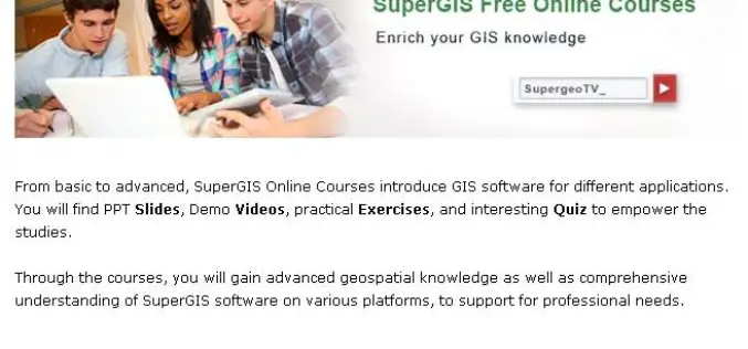
No-Cost Online GIS Courses on SupergeoTV to Enrich Geospatial Knowledge
To facilitate more GIS users and non-GIS professionals with deep understanding in geospatial technology, further applying GIS to diversified domains, Supergeo, the leading GIS solution provider, launches free online courses
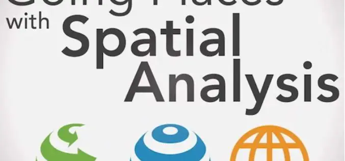
Learn What You Can Do with ArcGIS Spatial Analysis
Go Places with Spatial Analysis Free Online Course – Learn What Spatial Analysis Can Do for You This Massive Open Online Course (MOOC) is for people who know
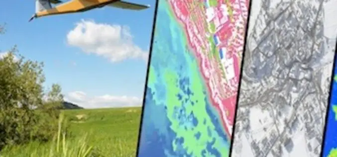
One Week Course About UAV Remote Sensing Principles
It is a one week course about state of the art remote sensing techniques using UAV aerial images. A broad board of top level UAV professionals and researchers has been
MUSA Earth Day Lecture: “Remote Sensing and Geospatial Tech for Sustainable Urbanization”
MUSA Earth Day Lecture: “Remote Sensing and Geospatial Tech for Sustainable Urbanization” April 22, 2015, 5:30 PM – 7:00 PM / Meyerson Hall, Lower Gallery Penn Institute of Urban Research Penn
Masters Course in Environmental Sciences, Policy and Management (MESPOM)
Erasmus Mundus Masters Course in Environmental Sciences, Policy and Management (MESPOM) Call for Applications 2015-2017 The MESPOM Consortium of six universities – Lund University (Sweden), the University of Manchester (UK), Central European
