
GIS

Ten Ways Remote Sensing Can Contribute to Biodiversity Conservation
WCS, NASA, And other conservation and remote sensing agencies, universities and NGOs focus on top 10 conservation questions for satellite technology Remote sensing has and can continue to play a
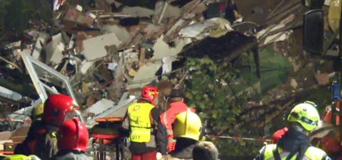
Mapping Switzerland’s Danger Spots
A Landslide In Southern Switzerland Has Left Two Dead. The Area Hadn’t Been Included In National Danger Zone Maps. A wall above the property apparently collapsed after days of heavy
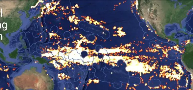
Global Fishing Watch Using Mapping Technology
Global Fishing Watch is the product of a technology partnership between SkyTruth, Oceana, and Google. Global Fishing Watch is a technology platform that uses satellite data to inform the public
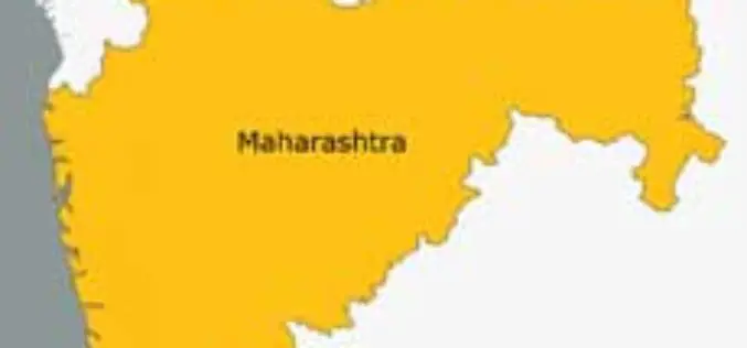
Maharashtra to Launch Rs. 4,000-Cr Satellite Mapping Project
India, the Maharashtra Government will soon launch a Rs. 4,000-crore satellite imaging project to map all land in the State and prepare digital records of land holdings. “We have decided to undertake

Fiji Adopted GIS Technology to Boost Sugar Industry
In recent news, the Fiji’s Prime Minister Voreqe Bainimarama has launched GIS portal at the Sugar Cane Growers Building in Lautoka which will now see the digitisation of the sugar

Young GIS Practitioners Encouraged to Apply to URISA Vanguard Cabinet
URISA is pleased to announce the availability of the 2015 Vanguard Cabinet application. The Vanguard Cabinet (VC) is a URISA initiative which debuted in 2011 to engage young GIS practitioners

Indian Government is planning to Map All Geo-physical and Geo-chemical National Resources
In recent news, Union Steel & Mines minister, Narendra Singh Tomar has urges plan to complete geo-physical and geo-chemical mapping of the country’s national resources. He said the government wants to

KU to Host 13th Annual GIS Day to Explore Innovations in Mapping Technology
On November 19, The University of Kansas will host the 13th annual GIS Day @ KU. The all-day event is part of a worldwide celebration that showcases recent developments and

GIS to Provide Edge to Australia’s Military
A regional geospatial defence expert has urged the Australian Defence Force (ADF) to exploit the capabilities of Geographic Information System (GIS) technology to deliver greater operational and battlefield advantages to
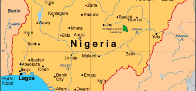
Government of Nigeria to Use Space Technology to Tackle Environmental Challenges
According to WorldStage Newsonline, The Federal Government of Nigeria is set to reposition space technology to tackle environmental challenges. Director of the National Centre for Remote Sensing (NCRS), Mr. Effron
