India Geospatial Growth to Reach ₹1.06 Lakh Crore by 2030, Says Amitabh Kant
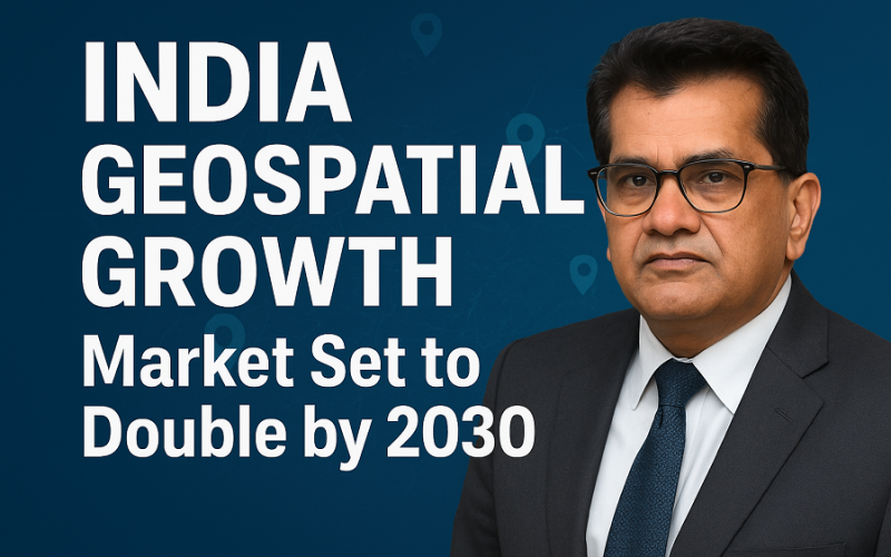
India’s geospatial sector is entering a decisive phase of expansion, with senior government advisor Amitabh Kant projecting the market to reach nearly ₹1.06 lakh crore by 2030. The current valuation stands at around ₹50,000 crore, and this rapid rise signals a strong phase of India Geospatial Growth, driven by policy reforms, innovation, and integration across major national programmes.
Speaking at the GeoSmart World Conference & Expo 2025, Kant highlighted that the country’s economic ambition cannot be achieved without unlocking the full potential of geospatial technologies. He reminded the audience that the sector was liberalised in 2021 after years of policy restrictions. Now, with greater openness and industry confidence, he stressed that the pace of innovation must match the scale of national development goals. This momentum, he added, is essential for sustaining India
Also Read – Esri India Launches Bharat ENVI — Satellite Data Analytics Boost for India
A key call to action was Kant’s proposal to build one Indian city operating entirely on a live geospatial and AI-driven system within the next 12 months. This would be a functioning model—not a pilot—and would showcase measurable improvements in traffic, utilities, land management, and public services. If delivered, it could position India as a global leader in smart urban systems.
The conference also highlighted successful applications already underway. The SVAMITVA scheme has surveyed over 3.5 lakh villages and issued 3 crore property cards, bringing clarity to rural land ownership. Verified geospatial maps are helping citizens access credit, resolve disputes, and participate more meaningfully in the economy. Similarly, the planned India Land Stack aims to unify high-accuracy basemaps, parcel boundaries, and property datasets to improve land governance and strengthen institutional transparency.
Experts at the event noted that the sector is no longer limited to mapping. The rise of satellite imaging, AI-powered analytics, drone-based surveys, and digital twins is expanding its role across infrastructure planning, agriculture, disaster resilience, and urban development. This ecosystem-wide transformation is expected to be a defining driver of India Geospatial Growth in the coming years.
As India moves toward a USD 30-trillion economic vision, geospatial technologies are becoming central to efficient governance and data-driven decision-making. With rising investments and supportive policies, the sector is poised for a decade of unprecedented growth.
Source: Express Computer