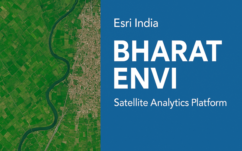
Esri India Launches Bharat ENVI — Satellite Data Analytics Boost for India
Bharat ENVI is a newly launched geospatial image-processing and analysis software by Esri India. It integrates the widely used Indo ArcGIS platform with advanced remote sensing tools — enabling Indian GIS users to process satellite, drone, LiDAR, SAR, multispectral and hyperspectral data in a unified environment.
The purpose of Bharat ENVI is to help planners, resource managers, and policymakers use geospatial imagery for decisions — from land-use planning to resource management and governance.
What Bharat ENVI offers
- Bharat ENVI brings a full-featured image-analysis toolkit that works for both experts and newcomers. It lets users automatically extract features such as water bodies, mining pits, crops, settlements, building footprints — and even detect ships when analysing coastal / marine datasets.
- It supports widely used open satellite data, such as Landsat 8, Sentinel-2 (and also Sentinel-1), enabling easy access to multi-sensor data sets.
- Through integration with Indo ArcGIS Living Atlas, users benefit from a large repository of Indian geospatial content and AI models — allowing localized and relevant analysis for India’s landscapes.
- The platform is expected to empower over 1.2 million ArcGIS users across more than 6,500 organisations in India.
Thanks to Bharat ENVI, satellite data use moves beyond mere mapping — it becomes actionable, digestible, and ready for governance, planning, agriculture, environment, infrastructure, and more.
Also Read – Google’s Earth-AI Unlocks Geospatial Reasoning for a Changing Planet
Why resolution matters & what kind of satellite data Bharat ENVI handles
When we say “satellite imagery,” a key metric is spatial resolution — the ground distance represented by each pixel in the image. High resolution means finer detail; medium resolution offers broader coverage at lower detail.
- Landsat 8 provides multispectral imagery at 30 metres per pixel (visible, NIR, SWIR bands), a 15 metre panchromatic band, and 100 metre thermal resolution.
- Sentinel-2 delivers optical imagery at 10 metres, 20 metres, and 60 metres spatial resolutions depending on the band.
By supporting these medium-to-moderate resolution datasets, Bharat ENVI’s satellite analytics platform enables large-area applications — such as land-use mapping, water resource monitoring, agriculture, environmental change detection — where sub-meter detail is not essential, but coverage and repeatability are.
For tasks that require fine detail — e.g. urban infrastructure, building-level mapping, or precision agriculture — higher-resolution commercial satellite data (or other data sources) may still be needed.
Significance for India’s Geospatial Ecosystem
The launch of Bharat ENVI signals a push toward democratizing satellite data analytics in India. By blending global-class remote sensing tools with localized datasets and AI models, it reduces the barrier for Indian organizations — whether government, private or research — to leverage satellite imagery for real-world problems.
This approach can expedite evidence-based decision-making: urban planners can monitor land-use changes, agriculture departments can assess crop health, environmental agencies can detect water bodies or deforestation, and governance bodies can use geospatial insights for policy and resource management.
As more satellite datasets (free or commercial) become available — and with satellite revisit rates improving — Bharat ENVI stands to become a key backbone of India’s geospatial intelligence and national development planning.
Conclusion
Bharat ENVI — a new satellite analytics platform — offers India’s GIS community a powerful bridge between raw satellite imagery and actionable geospatial intelligence. With support for widely used datasets like Landsat 8 and Sentinel-2, and tools for feature extraction, land-use analysis, and resource mapping, the platform could reshape how geospatial data supports governance, planning, and sustainability in India.
Source: BISInfotech, CXOToday, MediaBrief, Digital Terminal