
Free GIS Data -Hydrology Data
Hydrology Data
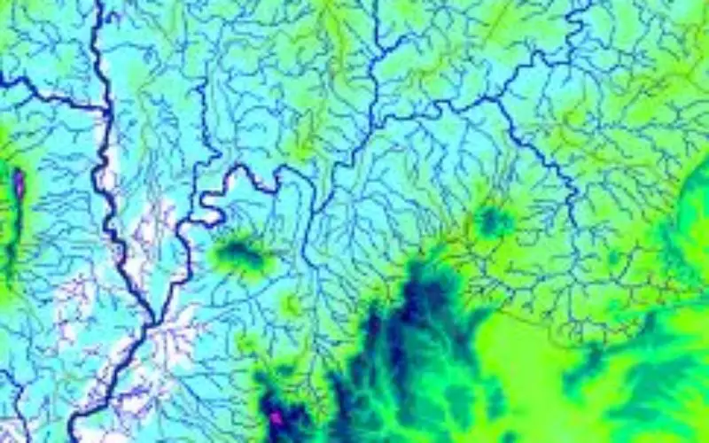
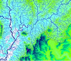
- HydroSHEDS: Hydrological data and maps based on the STRM elevation data. Includes river networks, watershed boundaries, drainage directions and flow accumulations for the globe.
- Catchment Characterisation and Modelling: Data on river basins, catchments and rivers for the European Union area.
-
style="text-align: justify;">Major Watersheds of the World Deliniation: Vector data showing the outlines of major watersheds (river basins) across the world.
- Water Isotopes: Global grids of hydrogen and oxygen isotope composition of precipitation and environmental waters in ArcGRID format. Data can be downloaded for whole globe or individual continents.
Categories:
GIS Data


Could you please provide me with data to work on Kerala flood 2018? Thank you
I just want to understand the hydrology of Central Kenya and I will really appreciate the support
Thank