India Launches GIS-Based Dam Safety Platform and AI Tool NETRA for National Dam Monitoring
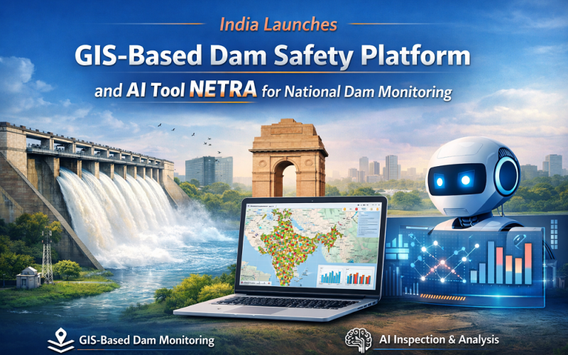
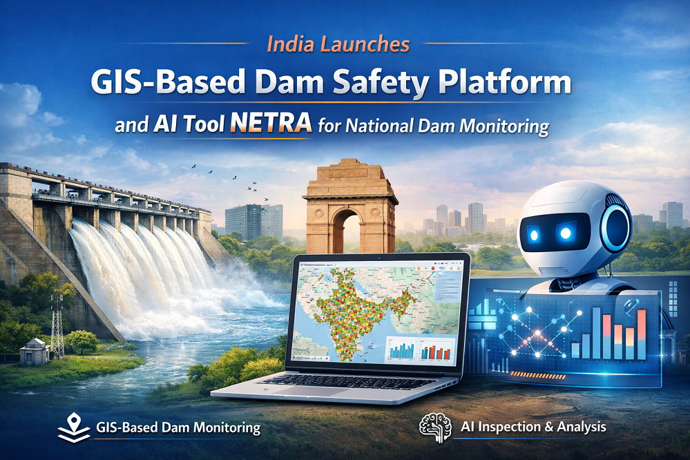
India has launched a suite of digital tools to strengthen the monitoring and governance of dam safety, including a GIS-based interactive mapping interface and an AI-powered inspection analysis platform called NETRA. The National Dam Safety Authority (NDSA) inaugurated its new office in New Delhi and unveiled these platforms to improve real-time oversight of India’s vast dam infrastructure, one of the largest in the world. This initiative marks an important step toward strengthening GIS-Based Dam Safety practices across the country’s water infrastructure network.
Background: India’s GIS-Driven Approach to Dam Safety Governance
India manages more than 6,500 specified dams, holding the world’s third-largest dam portfolio. Nearly 70 per cent of these structures are over 25 years old, and approximately 85 per cent are earthen dams increasingly vulnerable to climate-induced overtopping and extreme rainfall events. The Dam Safety Act 2021 mandated the establishment of the NDSA as the apex regulatory body to coordinate dam safety policies and technical oversight across the country.
Previous dam safety monitoring relied heavily on manual inspections and paper-based records, generating thousands of reports annually across pre-monsoon and post-monsoon inspection cycles. The Ministry of Jal Shakti’s digital transformation drive, supported by the World Bank-backed Dam Rehabilitation and Improvement Project (DRIP), aims to replace these legacy workflows with data-driven, spatially enabled decision-making systems.
GIS-Based Dam Safety Mapping Technology and AI Methodology
GIS-Based Interactive Dam Mapping Interface
The NDSA’s official website features a geographic information system (GIS)-based interface that allows users to view spatial information on selected dams across India through an interactive web map. The platform uses vector data overlays on a national base map, enabling officials and public stakeholders to access dam location data, inspection status, and structural classification attributes spatially. The GIS layer integrates national dam registry data with spatial reference coordinates, supporting queries by state, river basin, and hazard classification. These capabilities play a central role in strengthening the country’s emerging GIS-Based Dam Safety monitoring framework.
Also Read – Designing a Dam Monitoring System
NETRA: AI-Powered Inspection Report Analysis
NETRA — the NDSA Engine for Tracking and Review using Artificial Intelligence — applies machine learning algorithms to analyse inspection reports and operational data in the national dam safety database. The system processes natural language inspection records, identifies trends, flags anomalies, and generates risk indicators to help authorities prioritise follow-up action. Complementing NETRA, the DAMCHAT platform developed by IIT Roorkee’s International Centre of Excellence for Dams provides real-time regulatory knowledge access through an AI query interface.
Implementation Across India’s National Dam Network
The NDSA office at West Block II, R.K. Puram, New Delhi, serves as the operational hub coordinating dam safety policy across all Indian states and union territories. The GIS interface initially covers thousands of classified dams distributed across major river basins including the Ganga, Brahmaputra, Krishna, Godavari, Cauvery, and Indus systems. NETRA’s AI analysis is applied to the growing national dam database that logs inspection outcomes from pre-monsoon and post-monsoon field visits.
Applications and Impact Across India’s Water Infrastructure
The GIS and AI tools directly support risk-informed decision-making for over 500 million people who depend on India’s dams for irrigation, drinking water, and hydroelectric power. Key benefits include faster identification of structurally at-risk dams, improved transparency for regulatory agencies and state water departments, and reduced reliance on manual data processing.
- Flood inundation mapping and emergency preparedness for downstream communities
- Predictive risk indicators to prioritise dam rehabilitation under DRIP Phase II and III
- Integration with the Jal Shakti Data Management Platform for inter-agency data sharing
Conclusion
India’s launch of GIS mapping and AI-powered inspection analysis for dam safety marks a significant step toward proactive, data-driven water infrastructure governance. As climate pressures intensify and the dam infrastructure ages, the integration of spatial data systems, AI, and national regulatory frameworks sets a model for managing complex hydraulic assets at scale across the developing world.
References
1. OpenGov Asia (2026, March 11). India: AI and GIS Visualisation Tools Enhance Dam Safety. opengovasia.com
2. Devdiscourse (2026). ICDS 2026 Launches AI, Data Platforms to Strengthen Dam Safety. devdiscourse.com
3. Ministry of Jal Shakti, Government of India. National Dam Safety Authority. jalshakti.gov.in
4. World Bank / Ministry of Jal Shakti. Dam Rehabilitation and Improvement Project (DRIP) Phase II & III.
5. Government of India. Dam Safety Act, 2021.