 In recent news by ANTARA News, Geospatial Information Agency of Jakarta will be verifying about 3,000 unnamed islands in Indonesia and put their coordinate on the map.
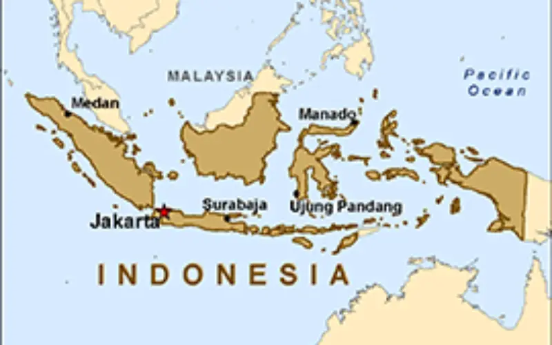
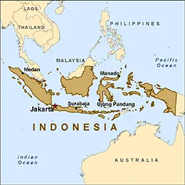
Indonesia is an archipelago country with 17,000 islands.So far only 13,466 islands so far are mapped and verified by Geospatial Information Agency. Indonesia has second longest coastline after Canada.
According to the agency, the length of Indonesian coastline has increased from some 91,000 kilometers to 99,093 kilometers after the latest verification process using a 1:250,000 scale. This may further increase further if the agency conducts the mapping using a scale of 1:25,000 for Java and Bali and 1:50,000 for Sumatra, Kalimantan, Sulawesi, and Papua.
Head of Department, Indonesia Geospatial Information Agency, Dr. Priyadi Kardono said:
“Therefore, the official number of our islands may increase from 13,466 to around 17,000.With the mapping of all the coastal areas using more detailed scales, the length of Indonesian coastline may increase to 100 thousand kilometers”.
“As part of a plan to develop 24 major harbors, the agency will map the Indonesian coastal areas using a very detailed scale of 1:10,000,” Kardono revealed.