3D Laser Mapping Brings Fast, Cost Effective Automated Volume Measurement To The Mining Industry
 3D Laser Mapping has announced SiteMonitorSV as the latest offering from its suite of SiteMonitor solutions. The system, which builds upon the proven SiteMonitor4D system, integrates advanced 3D laser scanning technology with simple to use software, enabling stockpiles to be monitored and managed safely through automated cost effective means.
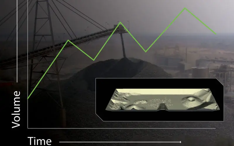
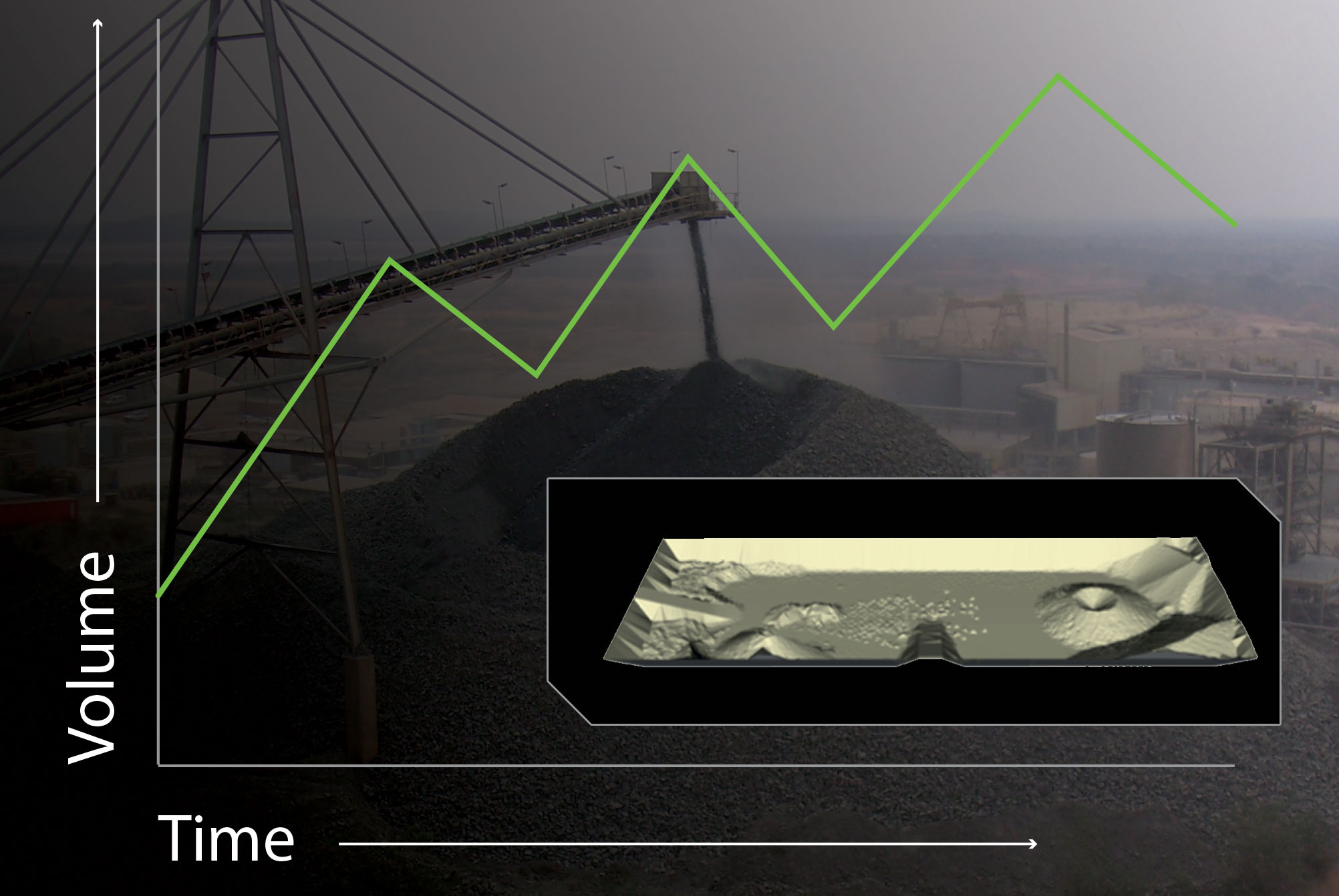
SiteMonitorSV provides up to date inventory that reflects current stock levels. Volume measurements require regular surveys of the same area followed by a comparison to a reference plane or surface, which through conventional methods is resource intensive and therefore costly. The automation enabled through the SiteMonitorSV system allows for repetitive daily, weekly or monthly volume surveys of stockpiles to be completed faster than when using traditional survey methods.
Dean Polley, Regional Director for Africa at 3D Laser Mapping, openly champions the credibility of SiteMonitorSV.
“One of the great things about this as a solution is its versatility – SiteMonitorSV can be mounted on conveyor structures, light poles or any existing infrastructure. It really is a cost effective, low maintenance and easy to use solution.
“The visual representation resulting from multiple scanners working together makes SiteMonitorSV easy to measure and manage stockpile volumes, creating an accurate inventory”.
The system, which uses a multi-axis laser architecture to generate an accurate point cloud will capture the full range of information and regularly updates itself, thus ensuring an accurate record of stock and movement.
The SiteMonitor collection provides specialist systems, software and support solutions for the mining industry and includes SiteMonitor4D, SiteMonitorGS and now SiteMonitorSV.
Source: 3D Laser Mapping