Subsurface Intelligence Mapping: Genesys Launches India’s First 3D Survey of Adani Airport
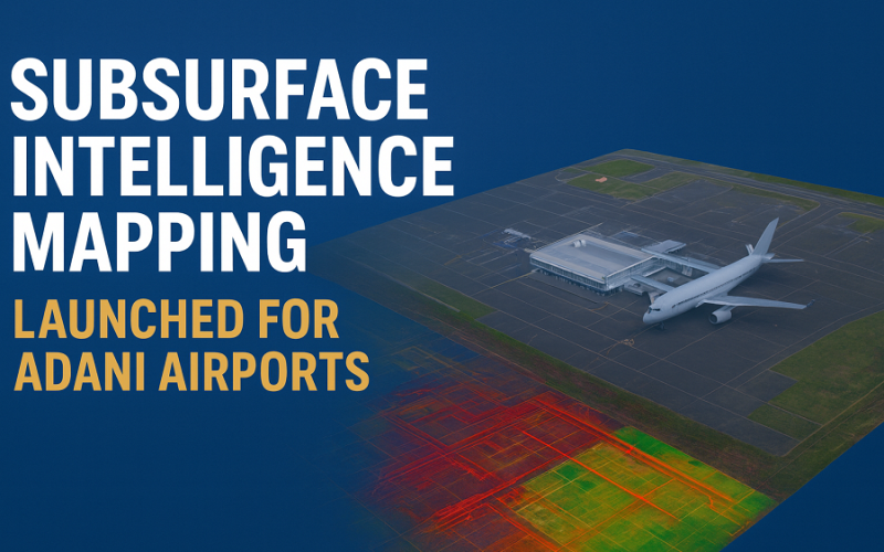
In a major stride toward India’s infrastructure modernisation, Genesys International has launched the country’s first comprehensive 3D subsurface mapping project, specifically for six airports operated by Adani Group. The contract, awarded by Bureau Veritas and valued at ₹17.38 crore, marks a milestone for digital infrastructure and aviation safety in India.
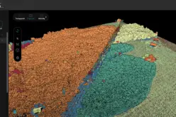
The project, described as “India’s first 3D Ground Penetrating Radar (GPR) survey”, covers airports in Mumbai, Thiruvananthapuram, Lucknow, Jaipur, Guwahati, and Ahmedabad. Genesys will deploy advanced 3D GPR systems integrated with high-precision LiDAR to detect, map and model underground utilities across full airport environments.
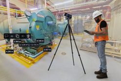
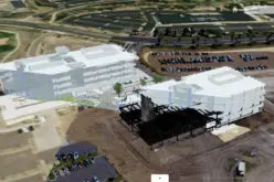
The mapping will be followed by detailed 3D Building Information Modelling (BIM), creating digital twins of each airport — including both external zones and internal terminal infrastructure. This entire workflow supports the growing demand for subsurface intelligence mapping across large aviation assets.
Also Read – Scanning Hallstatt: RIEGL LiDAR Transforms Exploration of a World Heritage Landscape
This initiative underscores the rising importance of accurate knowledge of underground utilities before any construction or renovation takes place. With the aviation sector expanding rapidly, subsurface intelligence mapping is becoming essential to prevent costly delays, avoid utility damage, and enhance operational safety. The addition of satellite imagery with high-resolution data — often reaching sub-meter levels — further strengthens the accuracy of planning and integrates seamlessly with airport GIS and LiDAR datasets.
The 3D mapping solution leverages GPR’s non-intrusive radar pulses, which reflect off subsurface structures such as pipes or masonry, allowing detection without digging. Meanwhile, the precision of LiDAR — especially when combined with GIS and BIM — ensures that the resulting 3D models achieve centimeter-level accuracy. This capability allows planners and engineers to visualize the subsurface and surface layers together, making subsurface intelligence mapping a foundation for smart airport decision-making.
Industry observers say this launch may redefine how large infrastructure projects are planned in India, shifting the paradigm from traditional — often invasive — survey methods to a “see-before-you-dig” approach. The integration of 3D mapping, digital twins, satellite resolution inputs, and high-precision data offers long-term benefits: improved maintenance planning, streamlined expansions, and enhanced safety.
Commenting on the project, Genesys Chairman and Managing Director said the “launch marks a transformative moment in India’s infrastructure journey,” noting that this first-of-its-kind subsurface mapping will set new benchmarks for airport modernisation nationwide.
As India scales up its airport network and upgrades existing facilities, subsurface intelligence mapping is poised to become a core element of future airport planning — shaping safer, smarter, and more efficient aviation infrastructure in the years ahead.
Source: ET Infra