
Tag "ESRi"
Minnesota Municipality Using GIS for Public Utilities Outage Management
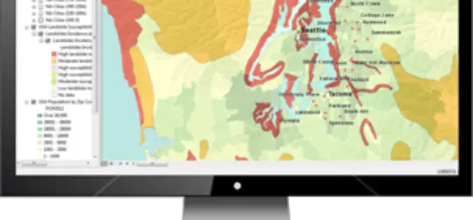
In recent news by American City & County, Minnesota municipality is using GIS for efficient handling of public utility outages. A Minnesota based company “Rochester Public Utilities”, provides services to more than 47,000 power
TerraGo Publisher Version 6.7 Delivers Free GIS-Lite Applications from ArcMap
TerraGo Publisher for ArcGIS is an extension to Esri ArcGIS that allows you to produce and exploit GeoPDF documents with ArcMap. You can define global defaults to be used when

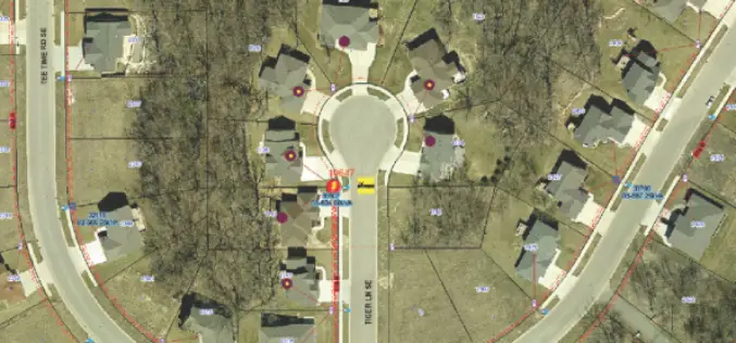
Oklahoma Forestry Services Using Wildfire App to Save Lives
Oklahoma Forestry Services is using wildfire app “Collector” in firefighting. Collector is a cutting-edge app to fight fire and save lives. Oklahoma is the first state in the United States of

PR: Children Map the World Using Their Artistry
New Esri Press Book Features Winners of Map Drawing Competition Redlands, California—Young people use their artwork to bring geography and their perspectives on the world to life in the new
Esri Live Training Seminars on Utility Asset Inspection Using ArcGIS
Esri Live Training Seminars on Utility Asset Inspection Using ArcGIS Thursday, April 16, 2015 Learn how to configure and deploy focused ArcGIS maps and apps that support common inspection workflows.
New Esri MOOC Tailored for Business Students
Redlands, California—Building on the success of its initial massive open online course (MOOC), Esri announces The Location Advantage, which is designed for recent graduates and current students majoring in business.
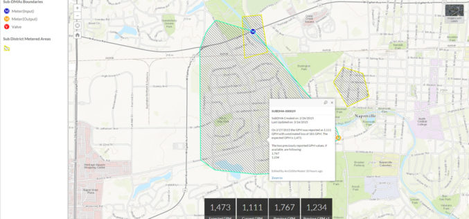
Esri Releases Nighttime Flow Analysis Solution to Identify Water Loss in Metered Service Areas
New Esri Solution Uses Location Analytics to Slash Discovery Time of Nonrevenue Water Loss at Utilities Redlands, California—Esri this month announced the release of its Nighttime Flow Analysis solution. This

Download Free Landsat 8 Imagery from the Amazon Web Services Cloud
Amazon has announced the availability of Landsat on Amazon Web Services. Under this program, Amazon will host 1 petabyte of Landsat imagery from USGS on the Amazon Web Services Cloud. You

Webinar: ArcGIS 10.3 – What’s New?
Esri India Webinar: ArcGIS 10.3 – What’s New? 24th March 2015, 11:00 AM IST onwards ArcGIS 10.3 is a major release that will help you discover, make, use, and share
Rwanda Launches the First-Ever Land Use Portal in Africa
Esri Eases Access to Land Information for Rwandan Citizens and Planners Redlands, California—Thanks to a new website called the National Land Use Planning Portal (NLUPP), Rwandans connected to the Internet
