
Tag "geospatial data"

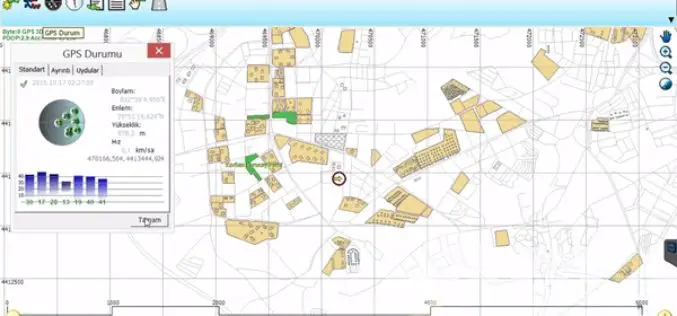
Maha Govt Plans to Map Whole State Using Satellite Images
According to recent news by ToI, the Maharashtra state government has planned to develop Maharashtra Geo-Spatial Digital Database System (MGDDS). City-based Maharashtra Remote Sensing Application Centre (MRSAC) has been appointed

Unfettered Display of Geospatial Data Pose National Security
It is essential to come up with legislation for the dissemination of images and geospatial data in the public domain before according permission to service providers such as Google as
An Integrated Workflow for Cadastre Mapping
Disputing ownership of real estate often occurs in a country with long history. Before the modernization, people usually just roughly point out their properties by obvious and immovable landscapes, such

OGC Seeks Public Comment on Candidate 3D Portrayal Service Standard
The membership of the Open Geospatial Consortium (OGC®) seeks public comment on the candidate OGC 3D Portrayal Service (3DPS) Standard. In the last decade, progress in airborne and mobile laser
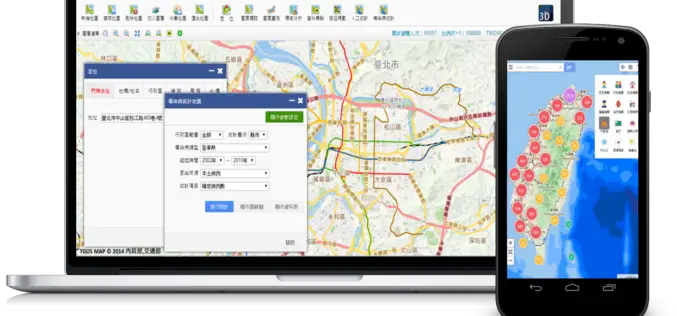
Geospatial Data in Taiwan – Focus on Integration
Supergeo’s biggest application customer in Taiwan, Ministry of the Interior and the TGOS platform, has just announced one of the biggest projects in the GIS field from ide@ Taiwan 2020
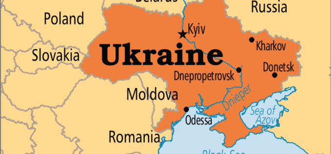
Japan to Provide Grant of $ 3 Million to Help Create National Infrastructure for Geospatial Data of Ukraine
In recent news by Ukraine News Agency, Japan International Cooperation Agency (JICA) will provide $ 3 million to realize a pilot project as part of the creation of the national

Escape the Obvious With the Ordnance Survey Graduate Scheme
Ordnance Survey graduate recruitment scheme for 2016 has launched, offering graduates the opportunity to lead the way on developing innovative and inspirational solutions for digital data. Ordnance Survey is looking for talented,
Webinar: Take Control of Your Geospatial Data with 1 Simple Platform
Take Control of Your Geospatial Data with 1 Simple Platform Thu, Oct 1, 2015; 9:30 PM – 10:30 PM IST, 12:00 PM – EST Learn how to manage your data with

Blue Marble Geographics Announces First Certified Trainer of Global Mapper
Blue Marble Geographics (bluemarblegeo.com) is pleased to announce that Engesat International S.A. of Brazil has successfully completed the training certification program. Together with his team, Laurent Martin, owner of Engesat
4Dmapper to Store, Deliver and to Share Geospatial Data
4Dmapper is a web based geospatial product. If you are thinking that it is same as Google Earth or Bhuvan; NO, 4Dmapper is a rich, purely browser based 3D environment
