
Tag "geospatial"

PrecisionHawk, Verizon, Harris and DigitalGlobe Jointly Demonstrate Technology for Safe Drone Operations
Industry leaders in cellular, aircraft surveillance, satellite imagery and drones bring together the best technology solutions to enhance safety as airspace congestion increases. PrecisionHawk, Verizon (NYSE, Nasdaq: VZ), Harris (NYSE:HRS)

Geospatial Mapping to Curb Illegal Sand Extraction
India – The Goa State Expert Appraisal Committee (GSEAC) has issued instructions to the District Collectors to carry out survey and mapping of sand extraction lease boundaries through Global Positioning

LizardTech Publishes Industry Survey Results on Raster Imagery and LiDAR Data Challenges
LizardTech, the creator of MrSID® and provider of software solutions for managing and distributing geospatial content, has published the results of a survey into the preferences and challenges of raster and

Escape the Obvious With the Ordnance Survey Graduate Scheme
Ordnance Survey graduate recruitment scheme for 2016 has launched, offering graduates the opportunity to lead the way on developing innovative and inspirational solutions for digital data. Ordnance Survey is looking for talented,
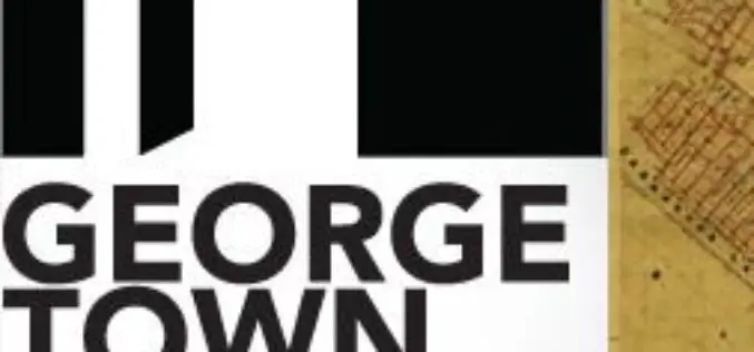
Protecting Cultural Heritage with Smart Mapping Technology
Penang’s rich colonial heritage and globally recognised architecture have been transformed into a virtual smart map Malaysia – George Town World Heritage Incorporated (GTWHI) with their mission to preserve, protect

Geospatial Technology to Assist Centre in ‘Housing for All’ Mission
New Delhi, Housing and Urban Poverty Alleviation Ministry has joined hands with National Remote Sensing Center, Hyderabad, for use of latest technologies in its Housing for All urban mission, on the

Indian Government Unveils Kisan Project; Hailstorm App to Assess Crop Damage
To fasten payment of crop insurance claims to farmers, the Centre on Monday launched a pilot programme Kisan, which will use satellite and drone-based imaging and other geospatial technology to
Geospatial Technologies Picking Up Greater Momentum
With the advancement in Remote Sensing and development in Geographic Information System and Global Positioning System, the applications of Geospatial Technologies in various fields have picked up greater momentum, a
FGDC Releases ISO Geospatial Metadata Editors Registry
The Federal Geographic Data Committee (FGDC) has released the ISO Geospatial Metadata Editors Registry application to share information across the NSDI community about tools that can be used to create ISO compliant metadata.
Hexagon Geospatial Announces Early Access to Cloud Apps: Rapid UAS Processing and Online Content Hosting
Be One of the First to Try New Cloud-Based Apps for Managing and Sharing Geospatial Content and an Automated UAS Workflow Hexagon Geospatial is pleased to introduce an early access
