
Tag "geospatial"
Fiji Government Assures its Commitment to Support Geospatial Industry
The Fijian Government has remained committed to the wide-spread use of geospatial technologies and to bringing Fiji’s existing technologies in line with international standards. Those were the sentiments of Prime
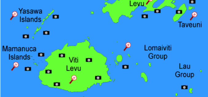
An Integrated Workflow for Cadastre Mapping
Disputing ownership of real estate often occurs in a country with long history. Before the modernization, people usually just roughly point out their properties by obvious and immovable landscapes, such

China’s Geoinformation Industry to Touch $6.6 Billion: Official
Beijing, Nov 10, 2015 – China’s geoinformation industry is booming with the output value expected to touch 360 billion yuan (USD 56.6 billion) this year, an increase of 22 per

PCI Geomatics and CONABIO Reveal Mexico Country Mosaic at the Latin America Geospatial Forum
MARKHAM, Ontario, Canada—November 09, 2015: PCI Geomatics, a world-leading developer of remote sensing and photogrammetric software and systems, together with its partner the National Comisión for the Knowledge and Use
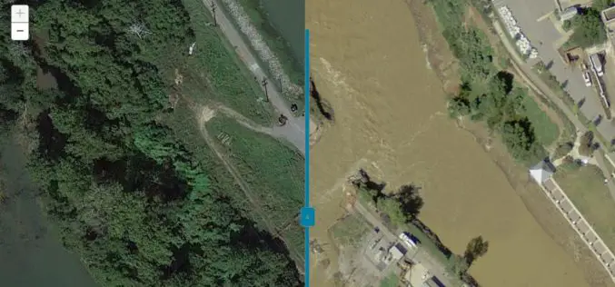
Imagery Assists Disaster Response in South Carolina
COLUMBIA, S.C. (Nov. 4, 2015) — One month ago today, a “thousand-year” rain event hit South Carolina, spurring widespread flooding throughout much of the state. In an effort to address the

OGC and ASPRS to Collaborate On Geospatial Standards; Invite Participation in Point Cloud Work
The Open Geospatial Consortium (OGC) and the American Society for Photogrammetry and Remote Sensing (ASPRS) have agreed to work together more closely in the application and promotion of standards and best practices for the
Join Free Training on Bhuvan – Gateway to Geospatial World
Training on Bhuvan – Gateway to Geospatial World December 08 – 09, 2015 Bhuvan, (lit: Earth), is a software application which allows users to explore a 2D/3D representation of the

OGC Seeks Public Comment on Candidate 3D Portrayal Service Standard
The membership of the Open Geospatial Consortium (OGC®) seeks public comment on the candidate OGC 3D Portrayal Service (3DPS) Standard. In the last decade, progress in airborne and mobile laser

Make Better Geospatial Decisions with Accurate Elevation Data
ENVI Webinar: Make Better Geospatial Decisions with Accurate Elevation Data November 5, 2015; 3:30 PM Berlin (GMT +2); 1PM New York (GMT -4) Precise elevation data is the initial foundation of any accurate geospatial

India Proposes Use of Geospatial Technologies to Strengthening Mutual Cooperation between BRICS Nations
The Minister for Science, Technology and Earth Sciences, Dr. Harsh Vardhan is leading an Indian delegation to the 3rd BRICS Ministerial Meeting on Science, Technology and Innovation (STI) being held
