
Tag "geospatial"

New National Geospatial Program Director Announced
The U.S. Geological Survey is pleased to announce the selection of Michael Tischler to the position of the Director, National Geospatial Program (NGP), starting Monday, April 6th. Mike brings a

Call for Papers – Geospatial Applications of Big Data Analytics
Recent developments in information technology commonly referred to as ‘Big Data’ along with the related fields of data science and analytics will need to be brought to bear in order
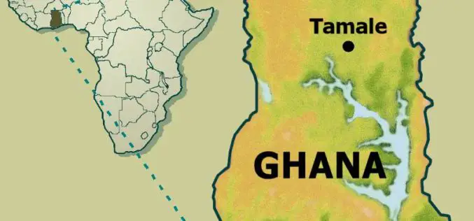
Institute of Local Government Studies (ILGS), Ghana Launches Centre for Geospatial Intelligence Services
The Institute of Local Government Studies, which aims at building capacity for local governance, has launched the Centre for Geospatial Intelligence Services (CGIS) and the Local Governance Observatory (LGO). Centre for
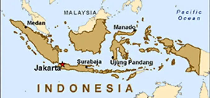
Indonesia Geospatial Information Agency to Survey 3,000 Islands
In recent news by ANTARA News, Geospatial Information Agency of Jakarta will be verifying about 3,000 unnamed islands in Indonesia and put their coordinate on the map. Indonesia is an
Citizen-Monitoring, Crowdsourcing New-Age Alert Tools (Tech Feature)
Crowdsourcing information can aid in early warning, says an American researcher who is working to scale up a satellite-based map of hydropower projects in the Himalayas into a mobile-phone based
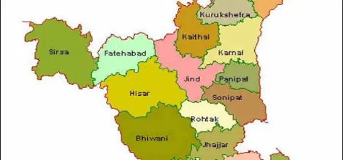
Haryana Government Sanctioned Rs 1.93 Crore Innovation Fund
In recent news, the Haryana government has sanctioned innovation funds of over Rs 1.93 crore to four districts namely Faridabad, Gurgaon, Karnal and Kurukshetra. Sumita Misra, principal secretary, science and
Penn State University Offering Course on Maps and the Geospatial Revolution
Learn how advances in geospatial technology and analytical methods have changed how we do everything, and discover how to make maps and analyze geographic patterns using the latest tools. Penn

2015 USGIF Scholarship Program
USGIF’s purpose is to promote the geospatial intelligence tradecraft and to develop a stronger community of interest between government, industry, academia, professional organizations and individuals who share a mission focused

PR: Now Add Location Intelligence to Apps with MapmyIndia Map APIs
18th March, New Delhi: MapmyIndia today announced the public launch of its Map API platform for software developers and enterprises. MapmyIndia’s API (Application Programming Interface) platform consists of individual APIs

RMIT University is Offering Doctorate, Master and Diploma Courses in Geospatial Science
RMIT is a global university of technology and design. Founded in 1887, it is now the nation’s largest tertiary institution, with 74,000 students. RMIT has three Melbourne campuses, two campuses

