
Tag "geospatial"
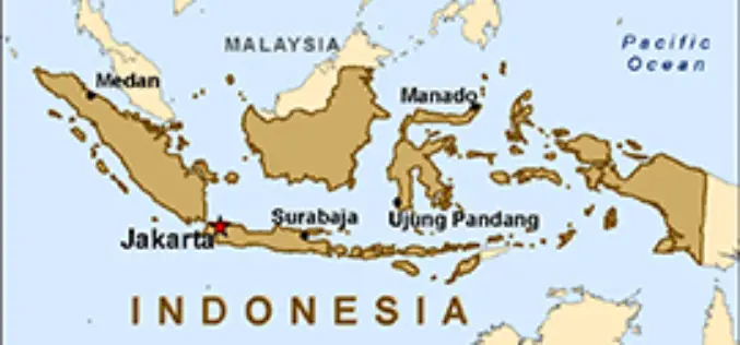
Indonesia Geospatial Information Agency to Survey 3,000 Islands
In recent news by ANTARA News, Geospatial Information Agency of Jakarta will be verifying about 3,000 unnamed islands in Indonesia and put their coordinate on the map. Indonesia is an
Citizen-Monitoring, Crowdsourcing New-Age Alert Tools (Tech Feature)
Crowdsourcing information can aid in early warning, says an American researcher who is working to scale up a satellite-based map of hydropower projects in the Himalayas into a mobile-phone based
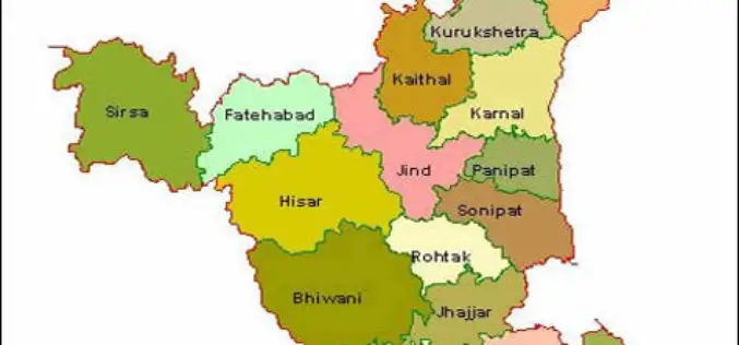
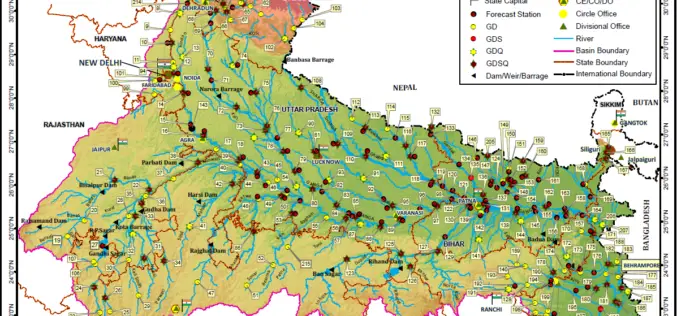
Haryana Government Sanctioned Rs 1.93 Crore Innovation Fund
In recent news, the Haryana government has sanctioned innovation funds of over Rs 1.93 crore to four districts namely Faridabad, Gurgaon, Karnal and Kurukshetra. Sumita Misra, principal secretary, science and
Penn State University Offering Course on Maps and the Geospatial Revolution
Learn how advances in geospatial technology and analytical methods have changed how we do everything, and discover how to make maps and analyze geographic patterns using the latest tools. Penn

2015 USGIF Scholarship Program
USGIF’s purpose is to promote the geospatial intelligence tradecraft and to develop a stronger community of interest between government, industry, academia, professional organizations and individuals who share a mission focused

PR: Now Add Location Intelligence to Apps with MapmyIndia Map APIs
18th March, New Delhi: MapmyIndia today announced the public launch of its Map API platform for software developers and enterprises. MapmyIndia’s API (Application Programming Interface) platform consists of individual APIs

RMIT University is Offering Doctorate, Master and Diploma Courses in Geospatial Science
RMIT is a global university of technology and design. Founded in 1887, it is now the nation’s largest tertiary institution, with 74,000 students. RMIT has three Melbourne campuses, two campuses

Survey Earth in a Day 4D
Survey Earth in a Day 4D June 21, 2015 – 4th Annual Global Celebration of the Land Surveying Profession Welcome Surveyor! At Noon, on the day of the solstice, June 21,
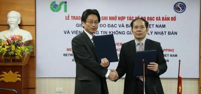
Vietnam and Japan Signed MoU to Cooperate in Geospatial Sector
The Vietnam Department of Survey and Mapping (VDSM) and the Geospatial Information Authority of Japan (GSI) exchanged a Memorandum of Understanding (MoU) on March 11 in Hanoi to commit to
FOSS4G-Europe Conference – Submissions Deadline Extended!
The second edition of the FOSS4G-Europe Conference will be held at Politecnico di Milano in Como, Italy, from July 15th to 17th, 2015. A day of workshops will precede the
