
Tag "geospatial"
Independent Report Highlights Esri as Leader in Global GIS Market
Esri and Partners Lead GIS Deployment in More than 10 Industries, Including 28 Percent Share of Electric Transmission and Distribution Market Redlands, California—ARC Advisory Group reports that Esri has a
New ASPRS Positional Accuracy Standards for Digital Geospatial Data Released
The American Society for Photogrammetry and Remote Sensing (ASPRS) is pleased to announce the release of the new Positional Accuracy Standards for Digital Geospatial Data. The new standards are available

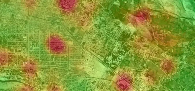
GAGAN to Save Lives at Unmanned Railway Crossings
The Indian Railways is in talks with the Indian space agency on the possibility of using GPS-aided geo-augmented navigation (GAGAN) for safety at unmanned railway crossings, said a top ISRO official. The

Ordnance Survey to Open Hub Dedicated to Innovation
In a move that aims to energise innovation in the UK geospatial industry, Ordnance Survey is opening a London-based Geospatial Innovation Hub to attract new players, new visions, new thinking and
To Drive Economic Growth and Digital Innovation through Open Data
To coincide with International Open Data Day, when countries across the globe will show their support for open data policies, Ordnance Survey (OS) announce plans to launch a world-leading digital map

New Esri Book Applies the Science of GIS to Literature, History, and Culture
Maps created using geographic information system (GIS) technology can be used to explore and interpret events in literature, history, and culture. That’s the premise of Abstract Machine: Humanities GIS, a
Intelligence In The Cloud
Lockheed Martin And Esri Cloud Deployment Enables Geospatial Information Sharing Across Intel Community Lockheed Martin [NYSE: LMT] and Esri have deployed commercial software to the Amazon Web Services Commercial Cloud

Ministry of Interior Achieves Best International Standards in Geospatial Information Security
The Geographic Information Systems, GIS, Security Centre at Abu Dhabi has achieved a new accomplishment for the Ministry of Interior, MoI, through receiving accreditation from the Open Geospatial Consortium, OGC,

Cartoview Enterprise GeoSpatial Application Platform Release
Cartoview is an open source web framework for managing and deploying geospatial and business Applications, the architecture of Cartoview makes it easy to efficiently develop and maintain and deploy GIS

LizardTech Releases Updated GeoViewer Application for iOS
SEATTLE, Wash. — Feb. 9, 2015 —LizardTech®, a provider of software solutions for managing and distributing geospatial content, has released an update to its free iOS GeoViewer application for viewing
