
Tag "geospatial"

Trimble’s Pocket-Sized R1 GNSS Receiver Enables High-Accuracy Data Collection with Smart Devices
Professional-Grade Location Accuracy Using Consumer Smart Phones and Tablets Trimble introduced today the R1 GNSS receiver, a pocket-sized, rugged, standalone receiver that works with iOS, Android or Window® mobile handhelds,
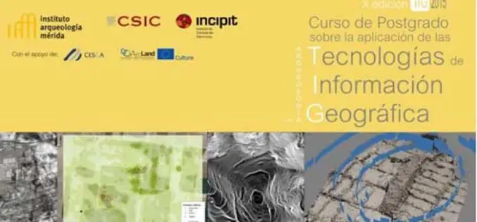
Specialization course in Geospatial Technologies for Archaeology
The ArcLand partner Incipit – Instituto de Ciencias del Patrimonio (Institute of Heritage Sciences, Spain), in collaboration with the Mérida Institute of Archaeology, announces the launching of a new edition of

Esri Launches New Site to Find Open Data
Search and Discover Authoritative Information from Any ArcGIS Open Data Website Redlands, California—Esri today announced the launch of a new site aimed to help citizens discover organizations sharing open data
2015 USGIF Awards Program is Now Open!
USGIF’s purpose is to promote the geospatial intelligence tradecraft and to develop a stronger community of interest between government, industry, academia, professional organizations and individuals who share a mission focused

Utilities and Customers Benefit from Intergraph Outage Notifications
Solution generates automated notifications improving customer outage experience HUNTSVILLE, Ala., Feb. 4, 2015 – Intergraph® will help utilities improve customer service during electricity outages with the release of Intergraph Outage

Geospatial Corporation Releases Geounderground Version 2.2
Latest Release of Cloud-Based GIS Offered as Free 14-Day Trial; Includes Geo-Docs File Sharing Platform and Access to Updated Interactive Tutorial PITTSBURGH, February 2, 2015 — (OTC Pink: “GSPH”), Geospatial

Wow ! Google Earth Pro Is Now Free
Recently Google has announced that Google Earth Pro is now available for free. Google Earth Pro is geospatial software that has all the easy-to-use features and detailed imagery of Google Earth, along with

Exelis Webinar: Increase Agricultural Efficiencies Using Satellite Imagery
Exelis Webinar on Increase Agricultural Efficiencies Using Satellite Imagery February 5, 2015 As anyone living in a major drought region will tell you, water has become the new gold. Properly conserving and
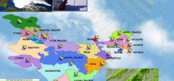
Regional Seminar on Geospatial Technology in Natural Resource Management at PRSC
Regional Seminar on Geospatial Technology in Natural Resource Management 17-18 March, 2015, Punjab Remote Sensing Centre, Punjab, India The maiden attempt of India in reaching Mars has ranked our nation in

MUSA Earth Day Lecture: “Remote Sensing and Geospatial Tech for Sustainable Urbanization”
MUSA Earth Day Lecture: “Remote Sensing and Geospatial Tech for Sustainable Urbanization” April 22, 2015, 5:30 PM – 7:00 PM / Meyerson Hall, Lower Gallery Penn Institute of Urban Research Penn
