
Tag "GIS analysis"

Course on GIS Analysis with QGIS
GIS Analysis with QGIS 6-10 February 2017 QGIS is the most popular and reliable Open Source GIS in the world. QGIS is currently used in Universities, Public Facilities and private

Geospatial Tools to Tackle Public Health in Bangladesh
According to recent news published by the University of Texas at Dallas, Geospatial information sciences (GIS) can help determine where diseases are spreading and where to target the resources needed to

Find the Best Location – Boost Business with GIS Analysis
Find the Best Location – Boost Business with GIS Analysis Wednesday, 27th January 09:00 AM (GMT) Your Local Time (http://goo.gl/y6KG0H) Sales reports, buyer behaviors, public transportation and etc., you got
UN Certificate Course on Geospatial Technologies for Disaster Risk Reduction
Geospatial Technologies for Disaster Risk Reduction in the Horn of Africa Geographic information systems (GIS) can be a very useful tool for the whole disaster management cycle starting from the
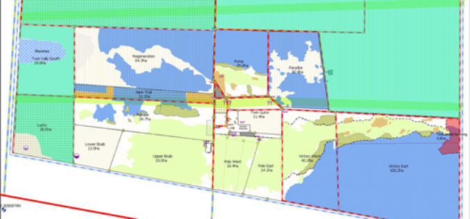
Sustainable Pasture Management – A Solution in West Australia
Scenario Overgrazing by sheep and cattle may lead to serious land degraded problems. In some sensitive ecosystems, like tropical savannahs or steppes, overgrazing would often cause irreversible desertification. Located in

Kuwait Institute for Scientific Research Selects SuperGIS to Enhance Spatial Data Quality
Supergeo long-term partner, KISR, Kuwait Institute for Scientific Research, has adopted the latest SuperGIS Desktop 3.3 and SuperPad 3.3 to not only raise GIS work effectiveness, but also strengthen the

Watering the Future – Manage Natural Resources by SuperGIS Cross-Platform Solution
Webinar: Watering the Future – Manage Natural Resources by SuperGIS Cross-Platform Solution 7th May, 11:00 AM (New York Time) Your Local Time (http://goo.gl/LYUae8) Wondering how to manage natural resources efficiently? With the
Latest SuperGIS Desktop 3.2 Enhances Map Display Performance and Analysis Functions
Developed by Supergeo, the latest Desktop GIS, SuperGIS Desktop 3.2 now provides users with a more powerful and comprehensive platform to display and edit GIS data by improving stability, accelerating

SuperGIS Assists South Africa in Economy Planning and Development
Supergeo Technologies, the global leading GIS software and solution provider, announces that Mangaung Metro Municipality (MMM), South Africa, utilizes SuperGIS Desktop and SuperSurv to evolve the city economic development. The

SuperGIS Spatial Statistical Analyst 3.2 Released Globally
Supergeo Technologies, a leading global provider of GIS software and solutions, officially launches SuperGIS Spatial Statistical Analyst 3.2 with powerful functions and optimization of interface for worldwide users. SuperGIS Spatial
