
Tag "GIS software"

URISA 2014 Salary Survey Data Collection Period Opens
Published Tuesday, June 17, 2014- The entire GIS community is asked to help develop an important profile of GIS professional activities and compensation by participating in the 2014 URISA GIS Salary

Caliper Offers Updated Mexico and Brazil Data for Use with Maptitude 2014
NEWTON, MASSACHUSETTS (USA) – Caliper is excited to announce new Brazil andMexico Country Packages! The products include a wealth of data and functionality not available in any other software. Both country packages includes
Esri and RedSeal Bring Geospatial Analysis to Network Security
Redlands, California—Esri and RedSeal Networks are joining forces to create a geospatial framework for cybersecurity. The goal is to fully integrate existing cybersecurity and information technology (IT) data with other
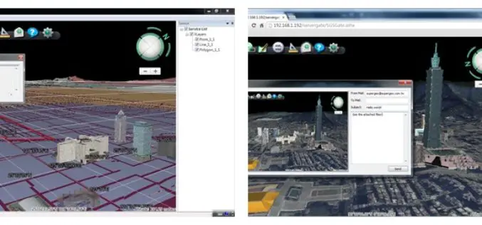
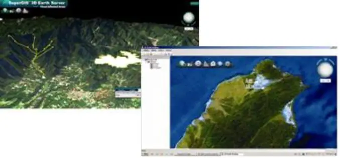
Superior 3D Map Viewing with SuperGIS 3D Earth Server Front-end Applications
To provide users a superior 3D map experience, Supergeo releases whole new front-end applications, the desktop client application, SuperGIS 3D Earth, and the browser plug-in, SuperGIS 3D Earth Plug-in, for
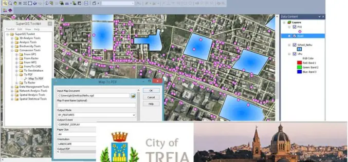
Italian Local Government Manages Urban Planning through SuperGIS Desktop
Supergeo Technologies, a leading global provider of GIS software and solutions, pleasantly announces that Urban Planning and Unique Construction Branch, Municipality of Treia, Italy selects SuperGIS Desktop to manage and
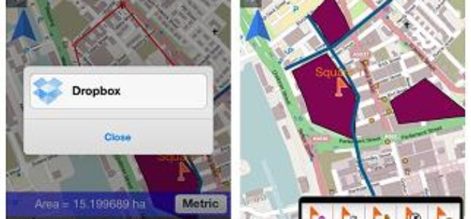
SuperSurv 3.2 for iOS Supports Cloud Storage
SuperSurv 3.2 for iOS, the newest mobile GIS app released by Supergeo, enables users to import data through cloud hard drive and supports more US local coordinate systems, providing iOS
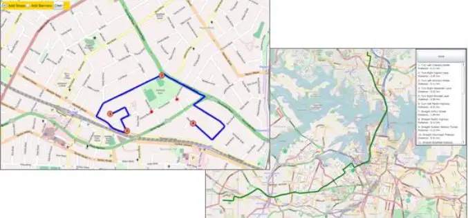
SuperGIS Server Silverlight API Samples Supports Powerful Network Analyses
Supergeo Technologies provides rich API samples for GIS developers to effortlessly customize web map services through SuperGIS Server 3.1a. Among them, SuperGIS Server Silverlight API newly includes the samples indicating

GeoServer 2.5.1 Released
The GeoServer team is happy to announce the release of GeoServer 2.5.1. GeoServer 2.5.1 is the next the stable release of GeoServer and is recommended for production deployment. Thanks to everyone
SuperGIS 3D Earth Server 3.2 to Enhance 3D Map Display Performance
Supergeo Technologies is going to release front end applications for enhanced 3D map display performance for SuperGIS 3D Earth Server 3.2 users. The desktop client application, SuperGIS 3D Earth, is

Jakarta Fire Department Utilizes SuperPad to Secure Citizens and Properties
Supergeo Technologies, a leading global provider of GIS software and solutions, assists the Department of Building and Fire, Bekasi, Jakarta in enhancing citizens’ life through SuperPad, the professional GIS data
