
Tag "GIS"
Golden Software Announces Educational Site License for Universities
GOLDEN, Colorado, 16 July 2018 – Golden Software, a developer of affordable software for scientific data visualization and analysis, has introduced a new unlimited licensing plan for universities and educational institutions.
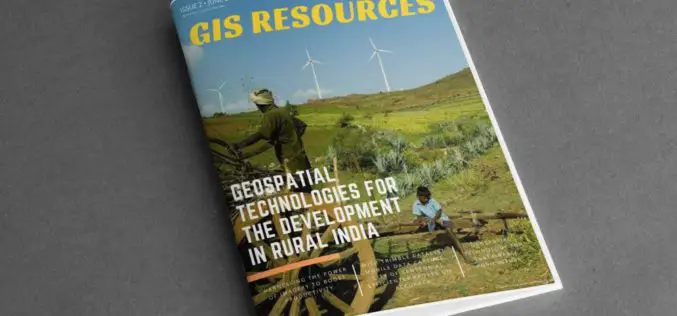
GIS Resources Magazine (Issue 2 | June 2018): Geospatial Technologies for The Development in Rural India
GIS Resources Magazine (Issue 2 | June 2018): Geospatial Technologies for The Development in Rural India June 18, 2018 – GIS Resources, a leading global platform for latest and high-quality information source of the

Boundless Server Enterprise Now Available as Managed Cloud Service
Boundless Server Enterprise as a Managed Service Enables Infrastructure and IT Cost Savings While Delivering Exceptional Application Performance with Elastic Scalability St. Louis, MO – June 5, 2018 – Boundless, the leader
TatukGIS Desktop Editor/Viewer 5
TatukGIS is pleased to announce the version 5 upgrade of its professional GIS Editor, a desktop GIS data editing and mapping application appropriate for a wide range of users and
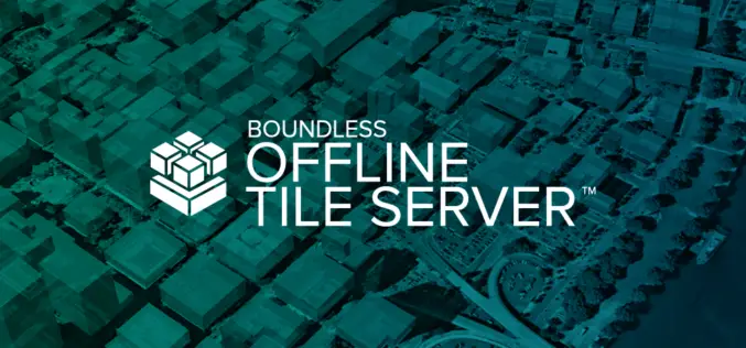
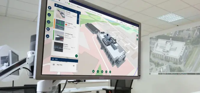
Boundless Introduces New Lightweight, Portable, Offline Basemap Server
With Boundless Offline Tile Server, Users Can Access and Provide Street-Level Maps Anywhere in the World St. Louis, MO – May 22, 2018 – Boundless, the leader in open and scalable
New 3D Repo Version Adds the Latest BCF Support and Further GIS Integration
London, 27 March 2018 – 3D Repo has released a new version of its cloud-based BIM platform that allows users to simultaneously access, via the web, the latest 3D construction models,
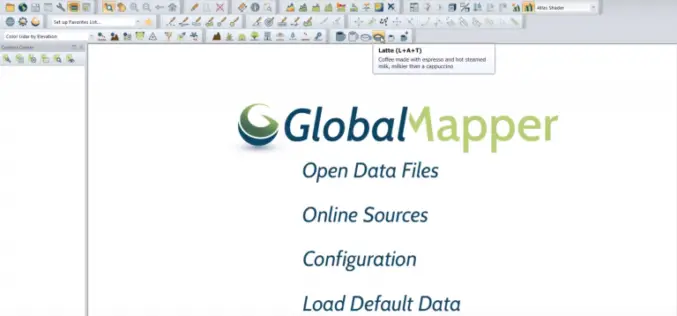
Update to Global Mapper Now Available with New Coffee-Making Toolbar
Hallowell, Maine – April 1, 2018 – Blue Marble Geographics (bluemarblegeo.com) is pleased to announce the immediate availability of an interim update to Global Mapper. This release introduces a major
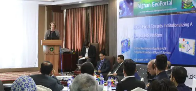
Asian Development Bank and the Govt of Afghanistan Launched “Afghan GeoPortal” to Improve Data Access, Sharing
KABUL, AFGHANISTAN (26 March 2018) — The Asian Development Bank (ADB) and the Government of Afghanistan launched the “Afghan GeoPortal” to help increase the Government of Afghanistan’s access to accurate

Trimble Announces Call for Speakers for its 2018 Dimensions International User Conference
SUNNYVALE, Calif., March 13, 2018—Trimble (NASDAQ:TRMB) has opened its Call for Speakers for the 2018 Trimble Dimensions International User Conference, which will be held November 5-7 at The Venetian in

GIS Resources Magazine (Issue 1 | March 2018): The Latitude & The Longitude
GIS Resources Magazine (Issue 1 | March 2018): The Latitude & The Longitude The Magic of Latitude & Longitude to Uncover Hidden Intelligence March 16, 2018 – GIS Resources, a leading global platform for
