
Tag "GIS"
University of Kerala Announces Admission to PG Diploma in Geo-Information Science and Technology
UNIVERSITY OF KERALA Centre for Geo-Information Science and Technology (A centre of excellence supported by the DST and KSCSTE) Announces admission to the PG

IEEE International Conference on Wireless for Space and Extreme Environments 2014
2014 IEEE International Conference on Wireless for Space and Extreme Environments European Space Agency, ESTEC, Noordwijk, The Netherlands, October 30 – 31, 2014 In cooperation with CSA, ESA, NASA WiSEE 2014

Peoples Natural Gas Standardizing Technologies with Esri
Eastern US Utility Streamlines Service with Geospatial Software Redlands, California—Peoples Natural Gas (PNG) is taking steps to further streamline utility service to 700,000 homes and businesses in Pennsylvania, West Virginia,
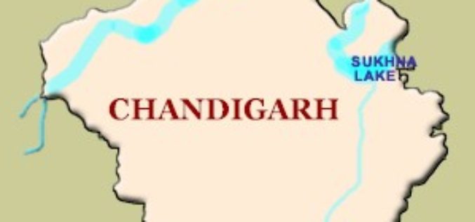
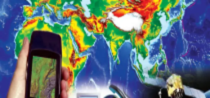
GPS to Map Accident-Prone Areas in Chandigarh
In recent news, Chandigarh traffic police has planned GPS mapping of the entire city. This maps will be created using Geographical Information System (GIS) and will be uploaded online and

Esri Brings Analytics to Urban Modeling for Smarter City Planning
Redlands, California—This provides urban planners, designers, and citizens easy to understand intelligence for improving their cities. ArcGIS provides deep insight into an urban scenario while CityEngine creates realistic digital 3D
RFP for Design & Development of a GIS portal
Assam State Disaster Management Authority (ASDMA) Assam, India Request for proposal for Design and Development of a Utility Geoportal for Assam State Disaster Management Authority Tender Reference No. – ASDMA/30/2013/30

Esri – Developers Summit
Esri India is conducting a Developers Summit at Hyderabad,India. Developer Summit (DevSummit) brings developers (GIS and Non-GIS) and GIS professionals to a common platform and to explore the Esri APIs
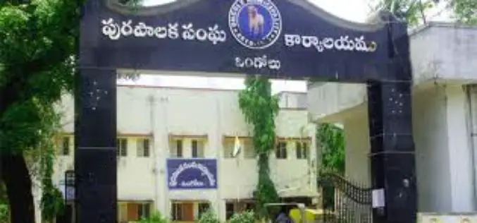
GIS to Check Irregularities in Property Tax
In recent news, Andhra Pradesh, Ongole Municipality Corporation is planning to use Geographical information System (GIS) to check irregularities in property tax system. Ongole Municipality Corporation has engaged a consultancy, which

Geospatial Corporation’s CEO Mark Smith to Present at the ENERGIS Conference Hosted by Range Resources, Pittsburgh PA
The conference addresses geospatial and GIS technologies and needs within the energy industry. Mark Smith will be presenting a case study with Mike Hopkins of Vantage Energy PITTSBURGH, PA–(Marketwired –

BMC Plans to do Utility Mapping to Curb Road Digging
In recent news, the Brihanmumbai Municipal Corporation (BMC) is planning to use Geographical Information System (GIS) for maaping public utilities such as sewer and water lines. The use of GIS will
