
Tag "Google Maps"

Apple Maps Goes Web Challenges Google
Apple has officially launched Apple Maps on the web in a public beta, marking a bold step to challenge the dominance of Google Maps. This move allows users to access
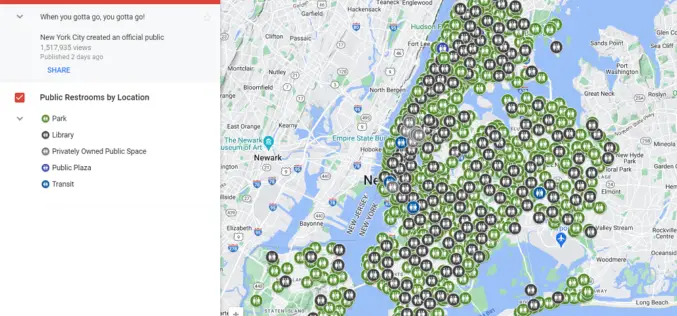
Google Maps Now Shows Public Toilets in New York City
New York City (NYC) has implemented a new layer on Google Maps to display public restroom locations, addressing the ongoing challenge of finding accessible restrooms across the city. The official
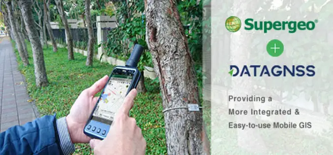
Supergeo Teams up with DataGNSS to Provide a Cost-effective RTK Solution
Supergeo is delighted to announce that the directors of DataGNSS, a professional GNSS RTK device manufacturer, have visited Supergeo’s Taipei Headquarters at the beginning of December 2017. In the meeting,

Pix4Dmapper 3.2 Now Generates Tiled Level-of-Detail (LoD) Mesh
May 2, 2017 – Today, we are happy to announce our Pix4Dmapper Desktop 3.2 release. The new version has great advancement in stability and usability – Upload desktop projects to cloud
Google Maps Adds Real-time Location Sharing of Trips
Google Maps has just unveiled a new real-time location sharing feature that allows dear ones to share their location with your Google contacts, or even share with friends and family

Training Course on GIS and Remote Sensing For Climate Change Impact Analysis and Adaptation
Training Course on GIS and Remote Sensing For Climate Change Impact Analysis and Adaptation October 10 – October 14, 2016 This training will offer a set of methods and techniques

NCTech and Top Gear USA Capture the Rubicon Trail in 360 degrees
iSTAR camera used to create immersive visual experience of challenging off-road route on Google Maps Los Angeles, CA & Edinburgh, UK – April 27, 2016 – NCTech, the developer of
Chinese Internet Giant Baidu to Expand Mapping Services Abroad
According to recent news by the Shanghai Daily, Chinese Internet giant Baidu has recently announced that it will expand its mapping service to over 150 countries and regions by the
Google and FAO Partner to Make Remote Sensing Data More Efficient and Accessible
Paris – Google Maps and FAO have agreed to work closely together to make geospatial tracking and mapping products more accessible, providing a high-technology assist to countries tackling climate change
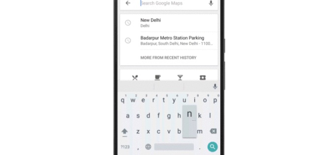
Google Maps Now Available Offline in India
Almost a week after announcing it in the US, last week Google has brought its Google Maps offline service to India. Google’s offline map makes the popular navigation and mapping tool
