
Tag "LiDAR data"
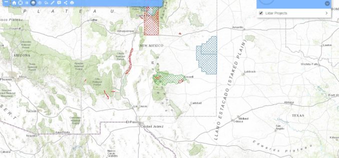
New Mexico Lidar Data Status Map
Increasingly, New Mexico’s key geospatial data needs must be met with high-quality, high-resolution, and current elevation data. Enhanced elevation data are essential to a broad and cross-cutting range of applications,
Nepali Infrastructure Firm Chooses SuperGIS Desktop Professional
With the collaboration of Indian geospatial professional company, Satpalda Geospatial Services, the Nepali infrastructure firm in Kathmandu, Evernal Infrastructure Ltd., has selected SuperGIS Desktop 3.3 Professional and relevant extensions for
OpenTopography Releases Raster Datasets for California, Colorado, New Hampshire and Washington
Recently OpenTopography has to announce the release of seven new raster datasets. These datasets are available for areas in California, Colorado, New Hampshire and Washington. All datasets were collected between 2010 and 2012.
Wine Industry Adopted UK Open LiDAR Data to Boost High Quality Grapes
The UK Environment Agency open LiDAR data is to be used by wine industry to identify suitable land for vineyards. The Environment Agency now has an extensive archive of aerial LIDAR data covering
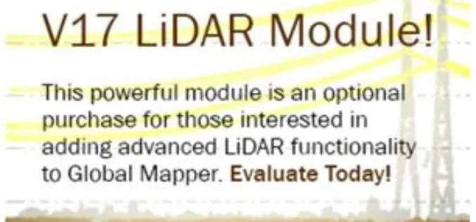
Updated Global Mapper LiDAR Module with Power Line Classification and Extraction
Blue Marble Geographics is pleased to announce the release of Global Mapper LiDAR module version 17.0. Released in conjunction with Version 17.0 of Global Mapper, the latest edition of the module includes

LizardTech Publishes Industry Survey Results on Raster Imagery and LiDAR Data Challenges
LizardTech, the creator of MrSID® and provider of software solutions for managing and distributing geospatial content, has published the results of a survey into the preferences and challenges of raster and

Webinar on Image Centric GIS for Complete Geospatial Processing Using ENVI & ArcGIS
Improvements in the quality and availability of geospatial imagery in recent years has driven organizations to include geospatial imagery as an integral part of their GIS strategy. While this trend
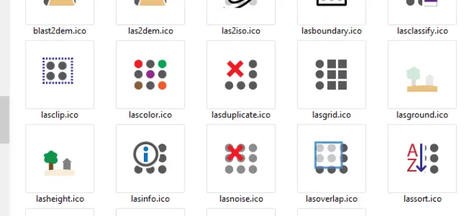
LAStools Toolbox now also for ERDAS IMAGINE 2015
The August release of LAStools from rapidlasso GmbH now also contains a toolbox for the latest 15.1 version of ERDAS IMAGINE® 2015 from Hexagon Geospatial. The two companies had announced their cooperation earlier this year after releasing

GeoShot Technologies Completed Large City Modeling Project Using LiDAR Data
GeoShot Technologies has successfully completed large city modeling using LiDAR data. “We are very excited to complete the first large scale city modeling project at GeoShot Technologies at a time

Open Source Software for Bulk LiDAR Data Processing Released
Developed for Forest Carbon Monitoring to Support Reducing Emissions from Deforestation and Forest Degradation (REDD+) in Kalimantan, Indonesia; Now Available for Public Use. For this project, Applied GeoSolutions and the
