
Tag "LiDAR Mapping"
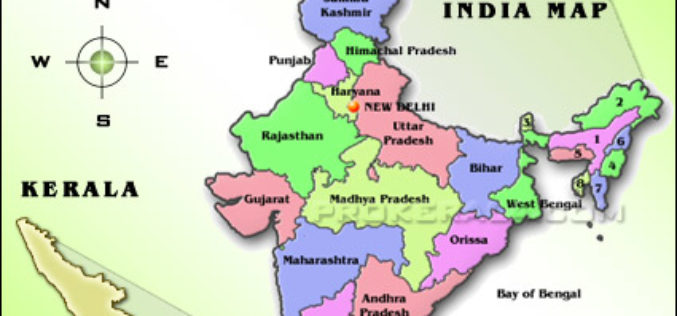
CORS Network to Complete Digital Land Resurvey in Kerala
Kerala State Government has given a nod to extended Digital Land Resurvey for 1,550 villages at cost of ₹807.98-crore. The project is expected to complete the resurvey of land over
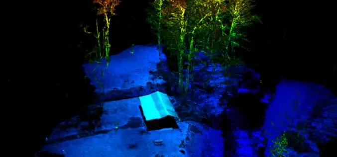
RedTail LiDAR Systems Supports Wounded Veterans Through Stream Restoration
The RedTail LiDAR System’s RTL-400 was used to aid in the bank restoration efforts that saved the cabin, improved stream access for disabled anglers, and more!
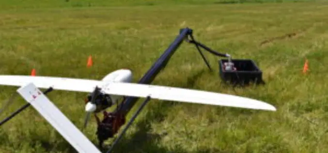
Calspan Invests in the Future of Drone Technology
Adding another aircraft to an ever-growing fleet allows Calspan to better address the needs of an evolving customer base. Buffalo, New York – October 31, 2017 – Calspan is pleased to
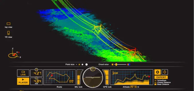
ILMF 2017: YellowScan Launches YellowScan LiveStation
ILMF 2017: YellowScan launches YellowScan LiveStation, Real-time in-flight LiDAR Station, a must for long endurance and critical LiDAR flights Yellowscan is very pleased to announce the launch of the YellowScan
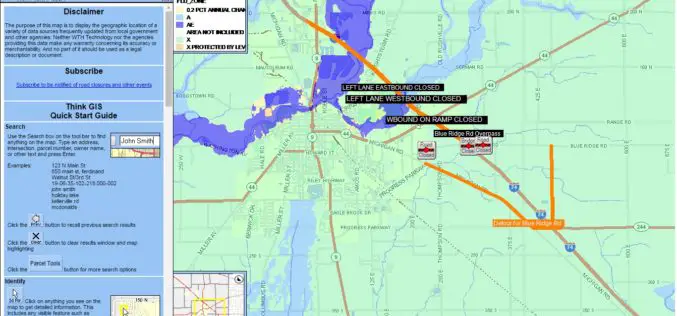
Shelby County, Indiana to Get New Mapping System
According to recent news reported by The Shelbyville News, Shelby County’s GIS board of directors has given up a positive node to the purchase of the new LIDAR mapping database. All

New YellowScan Surveyor, the World’s Lightest and Most Accurate LiDAR Solution
New YellowScan Surveyor: World’s lightest and most accurate LiDAR solution for Civil Engineering & Mining professionals Denver, CO, USA – February 22, 2016 – YellowScan is pleased to announce the
