
Tag "mapping"

Proteus Announces Launch of Professional Satellite Image Procurement Service
Proteus, a provider of satellite derived mapping and geospatial services, announces the official launch of their new professional satellite image procurement service. Proteus employ dedicated expert account managers to provide
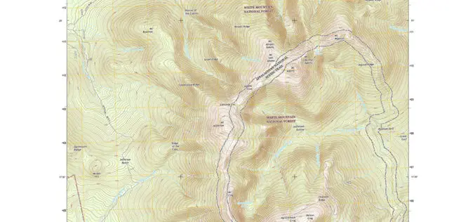
New England Maps Adding Trails
Newly released US Topo maps for New Hampshire, Vermont, Connecticut, Massachusetts and Rhode Island now feature selected trails and other substantial updates Several of the new US Topo quadrangles for

Telangana State to go for Topographical Survey of Godavari River
According to recent news in Indian Express, the Telangana state government is determined to optimal utilization of allocated Godavari water falls. The state government has decided to go for topographical
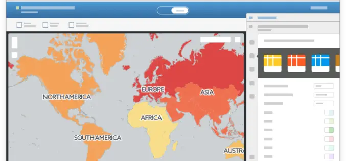
CartoDB Launches One-Click Mapping, the Mapping Revolution
Our brand new functionality will analyze your uploaded datasets and make suggestions of columns to visualize, offering you a selection of ready-made maps from the moment you click over to

Soil Moisture Monitoring With Active-Passive Remote Sensing
Soil moisture is a key variable in controlling the exchange of water and heat energy between the land surface and the atmosphere through evaporation and plant transpiration. An assessment of surface soil
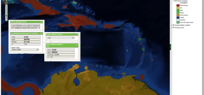
SuperGIS Server Extends Map Possibilities with Various Resources
This week, Supergeo releases the latest version of SuperGIS Server with plenty of new functions, including related tables, improved JavaScript print tool, and new JavaScript APIs supporting OGC layers. With

On The Right Path with OS Maps
Ordnance Survey has produced a new off-road sat-nav style router in its OS Maps application that covers Britain’s 15 National Parks Using Ordnance Survey’s unrivalled outdoors mapping it allows users to plot

Strong Increase Enquiries on UAVs for Mapping and 3D Modelling in 2015
Geo-matching.com is the first independent product comparison website for geomatic, hydrographic and related industries field. Especially the enquiries and traffic on UAS for Mapping and 3D Modelling products have shown

Get the Latest version 10.2.6 of the ArcGIS Runtime SDK for .NET
Esri has announced the release of latest version 10.2.6 of the ArcGIS Runtime SDK for .NET. The allows to integrate ArcGIS functionality into Windows apps for desktop and mobile. SDK also

Property Sale Linking with GIS Maps
According to recent news by DNA, Maharashtra government is planning to link property sale with GIS Maps to make the system of computing ready reckoner rates more scientific and rational.
