
Tag "RADAR"
Russia Plans to Launch 5 Earth Observation Satellites in 2024
Roscosmos, the Russian space agency, plans to launch five Earth observation satellites in 2024. This initiative is part of a broader strategy to enhance Russia’s Earth observation capabilities. The planned
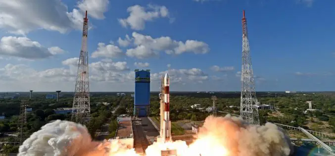
ISRO Successfully Launches RISAT-2BR1 – A Radar Imaging Earth Observation Satellite
Dec 11, 2019 – ISRO – India’s Polar Satellite Launch Vehicle, in its fiftieth flight (PSLV-C48), successfully launched RISAT-2BR1 along with nine commercial satellites from Satish Dhawan Space Centre (SDSC)

Echolocation And Its Technological Developments
Authored By: Introduction Dolphins utilize echolocation to discover things in their surroundings. The clicking-noises they utter bounce off things under the water & goes back to this smart mammal.
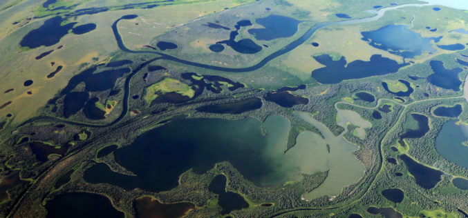
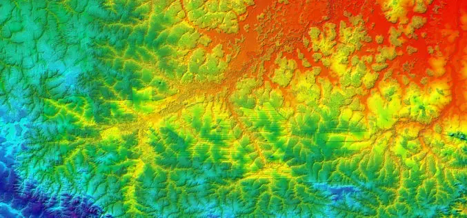
Thawing Arctic in Radar View – Permafrost Monitoring with Latest Radar Technology in German-Canadian Cooperation
September 17, 2018 – DLR German Aerospace Center, Germany – Scientists from the German Aerospace Center (Deutsches Zentrum fuer Luft- und Raumfahrt; DLR) Microwaves and Radar Institute are developing special
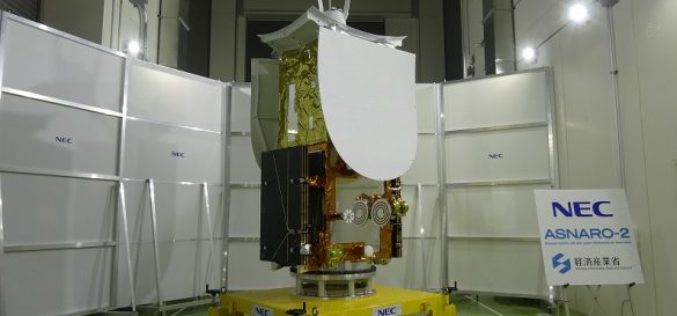
Japan Successfully Launches Small Radar Imaging Satellite “ASNARO-2”
January 18, 2017, JAXA – JAXA successfully launched Epsilon-3, the third Epsilon launch vehicle which encapsulates NEC Small radar satellite “ASNARO-2”, from the JAXA Uchinoura Space Center. The launch occurred on

IDS GeoRadar Unveils Ground Penetrating Radar to Improve Safety Before Cutting or Drilling into Concrete Structures
C-thrue is an all-in-one, robust solution to see through concrete structures and reveal true data October 24, 2017 – Pisa, Italy: IDS GeoRadar, a leading provider of multi-frequency, multi-channel Ground Penetrating
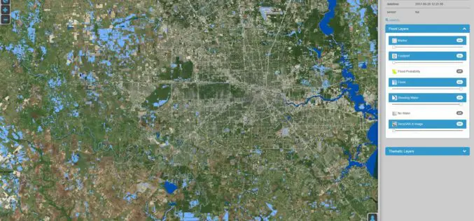
DLR Provides Satellite Data for Hurricane Harvey
DLR provides satellite data for Hurricane Harvey Radar images from TerraSAR-X German Aerospace Center (DLR) provides real-time recordings and archive data of the German radar satellite TerraSAR-X. DLR supports hurricane
Benefits and Potential of RADAR Satellites: TerraSAR-X and TanDEM-X
The German satellite duo TerraSAR-X and TanDEM-X have consistently delivered one-of-a-kind Earth observation data since 2007 and 2010, hence shaping the international research landscape. TanDEM-X is being implemented on behalf of
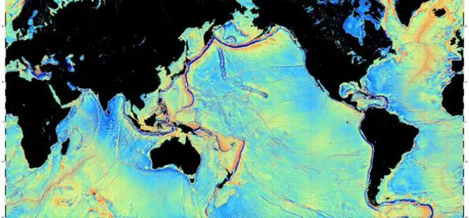
Mapping the Seafloor with Geodesy
Advanced sonar technology has allowed ships to create highly detailed topographic maps, it would take 125-200 ship-years to survey the deep oceans alone, costing billions of dollars. Gravity models are
PCI Geomatics Releases GXL 2016
MARKHAM, Ontario, Canada – March 1, 2016: PCI Geomatics, a world leading developer of remote sensing and photogrammetric software and systems, announced today the release of its GeoImaging Accelerator (GXL)
