
Tag "remote sensing"

Webinar on Remote Sensing Methods to Inform Adaptive Management of Phragmites
Remote Sensing Pt II: Implementing practical field & remote sensing methods to inform adaptive management of Phragmites Fri, Dec 11, 2015 12:30 AM – 1:30 AM IST Show in My

PhD Studentship in Hyperspectral Remote Sensing
Cranfield University is a British postgraduate and research-based university specialising in science, engineering, technology and management. It contains two campuses; the main campus is at Cranfield, Bedfordshire, and the second is the
China to Launch Satellite to Help With Emission Reduction
China is planning to launch a satellite in 2016 to monitoring the global distribution of atmospheric carbon dioxide. This will be first of its kind in China, the satellite, tentatively called
Google and FAO Partner to Make Remote Sensing Data More Efficient and Accessible
Paris – Google Maps and FAO have agreed to work closely together to make geospatial tracking and mapping products more accessible, providing a high-technology assist to countries tackling climate change
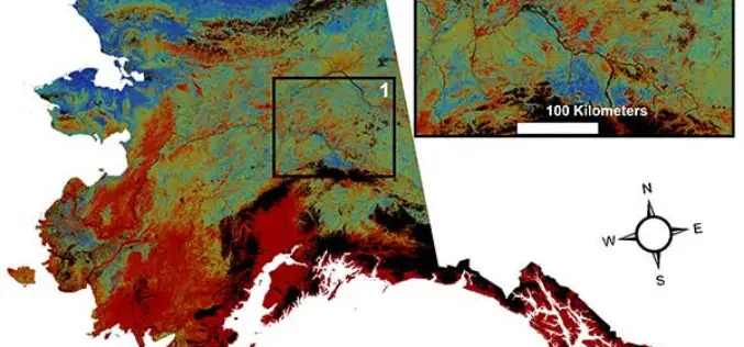
USGS Projects Large Loss of Alaska Permafrost by 2100
Using statistically modeled maps drawn from satellite data and other sources, U.S. Geological Survey scientists have projected that the near-surface permafrost that presently underlies 38 percent of boreal and arctic

New Remote Sensing Handbook Published
A newly published, three-volume “Remote Sensing Handbook” is a comprehensive coverage of all remote sensing topics written by over 300 leading global experts. With 82 chapters, and more than 2000
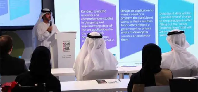
MBRSC Launches Remote Sensing Applications Competition
The Mohammed Bin Rashid Space Centre (MBRSC) launched the 2015 edition of the Remote Sensing Applications Competition (RSAC), which aims to promote scientific research and applications that use satellite images
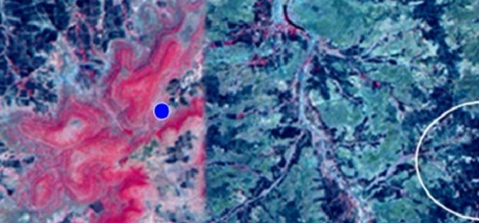
Identification of Artificial Recharge Sites Using Remote Sensing Technology
Identification of Artificial Recharge Sites Using Remote Sensing Technology Groundwater is a major source for all purposes of water requirements in India. More than 90% of rural and nearly 30%
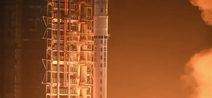
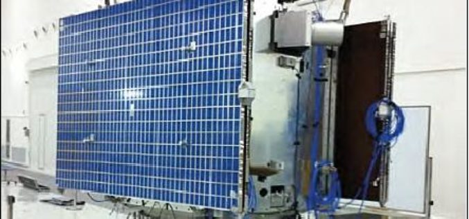
China Launches Yaogan-29 Remote Sensing Satellite
China has successfully launched a remote sensing satellite named was carried by a Long March – 4C rocket after it was launched on Thursday from Taiyuan in the country’s northern Shanxi

5th EnMAP School on Hyperspectral Remote Sensing
The EnMAP Science Advisory Group (EnSAG) organizes the 5th EnMAP School at Trier University in April 2016. We are pleased to host the EnMAP School in Trier for the second
