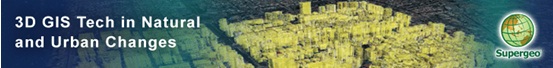
Webinar: Responding to Natural and Urban Environment Changes with 3D GIS Tech
Responding to Natural and Urban Environment Changes with 3D GIS Tech
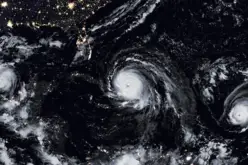
When natural and human-made disasters occur in urban area, how do we respond and minimize the damage with GIS Technologies in advance?
Join no-cost SuperGIS webinar and see how 3D GIS service can be applied to urban planning and disaster control.
In this webinar, you will learn how to:
- Visualize real-time data with multi map layers to get latest info
- Interact with local data easily to make the best emergency plans
- Build up your own 3D GIS service by custom APIs
- Publish and explore your model data on 3D Earth Web
Who should attend?
GIS professionals, Analysts, Managers, Urban planners, Disaster Control Department and anyone who are interested in increasing work efficiency with 3D GIS Tech
Speaker

George Wang
Product Specialist, Supergeo Technologies
George graduated from the Geography Department of National Taiwan University and has a master degree in GIS. With solid experiences and education in GIS analysis, programming, and data management, he is well familiar with Supergeo products and applications projects in geographic works.
Join on
- Thursday, 20th November
- 03:00 PM – 04:00 PM (London time)
- Your Local Time (http://goo.gl/DXNHeT)