Tag "surveying"
INTERGEO – Bridge to a Digital Future
Karlsruhe/Berlin, 24, July 2017 | When Geo IT experts from the worlds of business and science sat down together at a roundtable for INTERGEO and got talking, they put together
China Adopts Revised Surveying and Mapping Law – Protecting National Security & Raising Public Awareness
China – April 28, 2017 – China’s top legislature Thursday passed a revised surveying and mapping law, protecting geographic information security and raising public awareness of national territory. The legislation
Topcon Announces New Wi-Fi Capability for Imaging Station
LIVERMORE, Calif., USA/ CAPELLE A/D IJSSEL, The Netherlands – March 7, 2017 – Topcon Positioning Group announces the addition of advanced connectivity options to its DS-200i direct aiming imaging station. The
Teledyne Optech to Introduce New Static and Mobile Surveying Solutions at INTERGEO 2016
October 4, 2016 — Teledyne Optech is pleased to announce that it will launch brand-new survey instruments and workflow solutions for the productive and accurate collection of 3D spatial data
Geospatial Technology to Achieve 11th Malaysia Plan
Geospatial technology will play a crucial role in helping agencies achieve the goals set out in the 11th Malaysia Plan (RMK11), according to a panel of Malaysia’s most influential industry
Australia’s Coordinates out by More Than 1.5 m
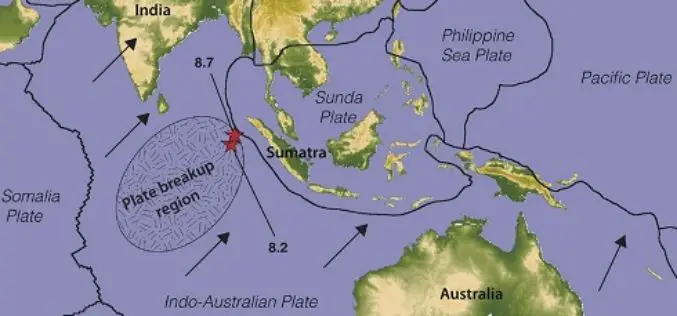
The Australian continent tectonic plate is moving 7 cm a year (and colliding with the Pacific Plate, which is heading west 11 cm a year) and experts at Geoscience Australia
Commercial UAV Expo 2016 at Las Vegas
Commercial UAV Expo is North America’s leading trade show and conference for the commercial drone market, focusing on: Surveying & Mapping Civil Infrastructure Process, Power & Utilities Aggregates & Mining Construction Law
Comparative Study of Online GPS Post Processing Services and Effects on DGPS Data Processing
Comparative Study of Online GPS Post Processing Services and Effects on DGPS Data Processing – Manas Kumar Jha, Saurabh Singh, Nisha Upadhyay, Nishant Khare Increasing dependency on Differential Global Positioning
Rice Associates, Inc. Enters Drone World Through Partnership With Navigator CS, LLC
MANASSAS, VA – Rice Associates, Inc. and Navigator CS, LLC have announced the formation of a business partnership that will allow Rice Associates, Inc. to utilize Navigator’s Unmanned Aircraft Systems
Mount Everest Moved 3 cm, Height Not Affected By Nepal Earthquakes
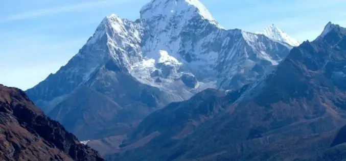
Beijing: Mount Everest moved three cms during the recent devastating earthquakes in Nepal but contrary to earlier reports the height of world’s tallest mountain has not been affected, Chinese official monitoring


