
Tag "UAE"
Ordnance Survey International Helps the UAE Manage Climate Change
Ordnance Survey International and Deimos Space UK are to work with the Mohammed bin Rashid Space Centre in Dubai to help the United Arab Emirates (UAE) improve how it plans and

Sharjah to Conduct GIS Survey of Labour Housing Facilities
According to the recent news, the Sharjah Labour Standards Development Authority (SLSDA) is planning to adopt geographic information system (GIS) and mobile apps to survey labour accommodation in Sharjah. The Sharjah
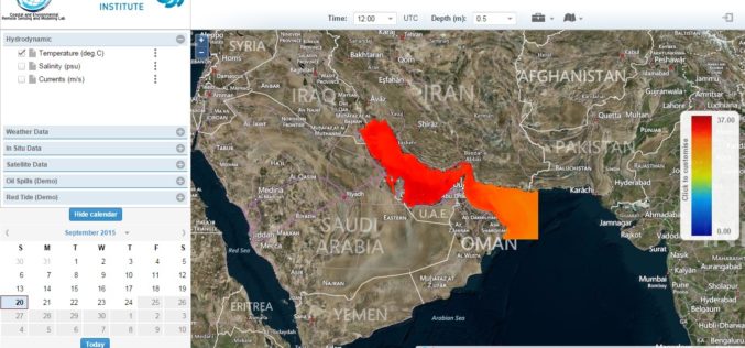
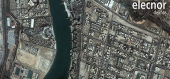
Remote Sensing for Real Time Coastal Monitoring
The Masdar Institute of Science and Technology (MI) has announced that it has launched an environmental regional observatory (http://earth.masdar.ac.ae/), offering comprehensive information for monitoring coastal processes in the UAE and

Supergeo Establish User Network with Evolving Geosystems in UAE
Supergeo Technologies, a leading global provider of GIS software and solutions, announces the official reseller agreement with Evolving Geosystems Technologies (EGT) to keep providing high-quality total SuperGIS solutions in UAE.
