
Tag "UAV"
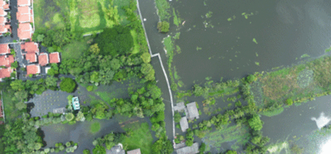
GIS & Decision Support Scenarios to Mitigate the Impact of Urban Flooding
A short spell of rain is enough to create chaos on roads in most urban areas in cities. Assurances by local authorities about preparedness to meet exigencies arising

OGC Seeks Public Comment on proposed Unmanned Systems Domain Working Group
The Open Geospatial Consortium (OGC®) seeks comments on the draft charter of a proposed Unmanned Systems Domin Working Group (UXS DWG). The proposed DWG will provide an open forum for
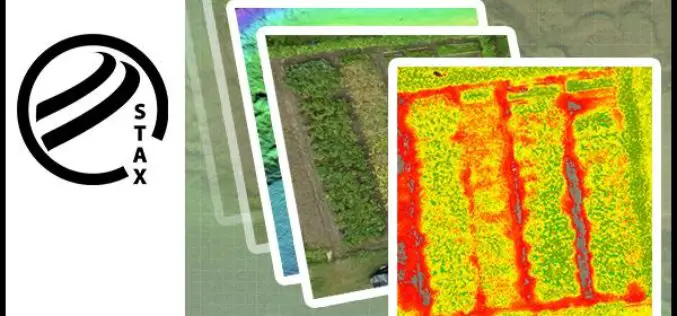
PCI Geomatics Releases STAX for UAV
MARKHAM, Ontario, Canada — March 07, 2017: PCI Geomatics, a world-leading developer of remote sensing and photogrammetric software and systems, announced today that it has released a new UAV image

Swarms of Drones to Map Oil Spill
In a recent news released by the University of Buffalo, inspired by birds and insect behavior soon swarms of flying drones will be mapping oil spills. Souma Chowdhury, Assistant Professor, Department of
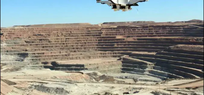
Drones Soon to Check Illegal Mining
Chennai – According to recent news reported by The New India Express, Madras High Court has directed the State government and the Union Ministry of Mines to take a decision
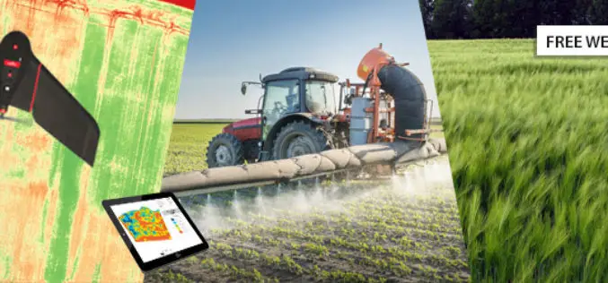
senseFly Webinar: Ag Drone Insights
Ag Drone Insights Experienced agronomists discuss UAV applications, results, ROI & more Tuesday, JAN 24, 2017 In this webinar you will learn: How to choose, adopt, & operate drone tech The

SimActive Used for Coastal Erosion Assessment with UAVs
SimActive Inc., a world-leading developer of photogrammetry software, is pleased to announce that Universiti Teknologi Malaysia (UTM) has chosen Correlator3D™ for its unmanned aerial vehicle (UAV) research. “We assessed photogrammetry
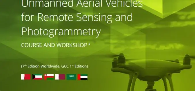
ICBA Workshop on Unmanned Aerial Vehicles for Remote Sensing and Photogrammetry
Unmanned Aerial Vehicles for Remote Sensing and Photogrammetry Monday, March 20, 2017 – Wednesday, March 29, 2017 International Center for Biosaline Agriculture (ICBA) is an international, non-profit agricultural research center
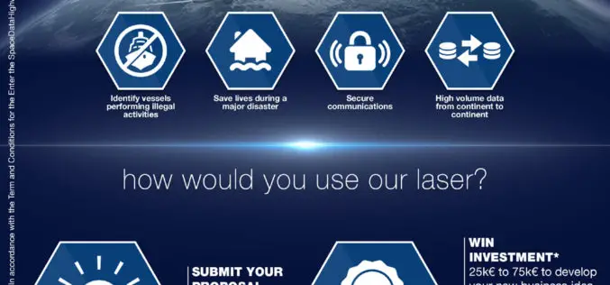
Airbus Launches “Enter the SpaceDataHighway” Challenge
• Aims to foster innovation for its brand-new laser-based space communication system. • Winner will be awarded €75,000 investment and will get support of Airbus BizLab. 12 January 2017 – Transmitting large
5 Drones for Precision Agriculture on Geo-matching.com
Drones (also known as Unmanned Aerial Vehicles) are used for various applications such as surveying, surveillance and habitat mapping. An interesting new application is precision agriculture. Drones can be used
